About This Route
What is kayaking Glengarriff Bay like?
A sheltered gem of a paddle through the island-studded inlet of Glengarriff. The highlight is Garnish Island (Ilnacullin) with its famous Italianate gardens. The bay is home to Ireland's only colony of harbour seals, often seen basking on Seal Island. Sub-tropical plants thrive in the warm, Gulf Stream-warmed microclimate.
How do I paddle Glengarriff Bay? Put-in, take-out and logistics
Glengarriff Harbour is a deeply sheltered inlet at the head of Bantry Bay, surrounded on three sides by mountains clothed in ancient oak woodland — part of the Glengarriff Nature Reserve, one of the finest examples of Atlantic oakwood in Ireland. The pier in the village has a slipway and ample parking, and the harbour is calm enough for beginners on most days. Seal Island sits barely 300 metres from the pier and is the main haul-out for the bay's harbour seal colony — the only resident breeding population of harbour seals (as distinct from grey seals) in south-west Ireland. Approaching quietly, you can often get within 20 metres before the seals slide into the water.
When is the best time to paddle Glengarriff Bay?
Garnish Island (also known as Ilnacullin) lies about 1 km south-west of the pier and is the centrepiece of the paddle. The island was transformed in the early 20th century by Harold Peto, the English garden designer, into an Italianate garden that takes advantage of the extraordinary Gulf Stream microclimate — tree ferns, camellias, and Himalayan rhododendrons thrive here alongside native species. Landing on Garnish is possible at the small pier on the eastern side, where the OPW ferry also docks; an entry fee applies if you visit the gardens. The circuit around Garnish takes roughly 40 minutes and passes rocky islets where cormorants spread their wings to dry. The entire 6 km loop from Glengarriff Pier around the bay's islands and back is short enough for a relaxed morning paddle, and the sheltered conditions mean this is one of the few sea routes in Cork that can be enjoyed comfortably from April through October.
Route Details
Put-in Point
Glengarriff Pier
Take-out Point
Glengarriff Pier (loop)
Best Season
April - October
Water Type
Sea
Parking
Yes, at the pier
Facilities
Village shops, pubs, toilets at pier
View on Map
Navigate
Where is Glengarriff Bay on the map?
Representative Scenery
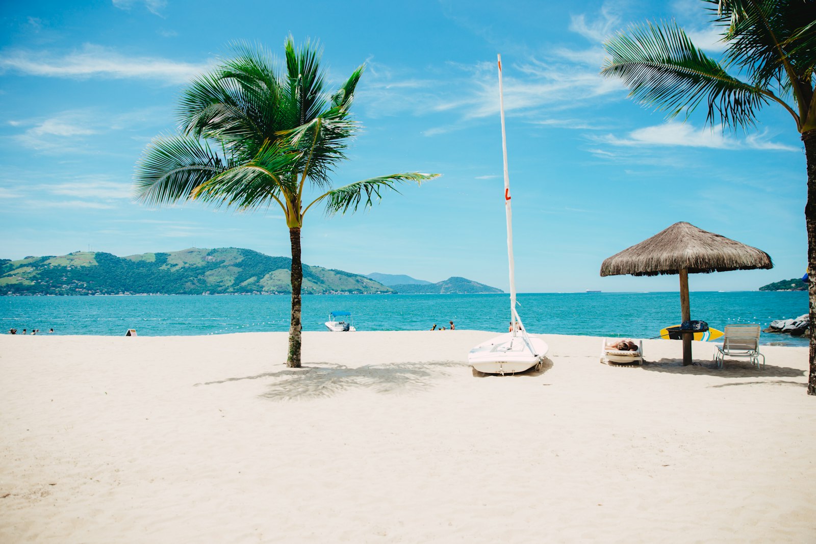
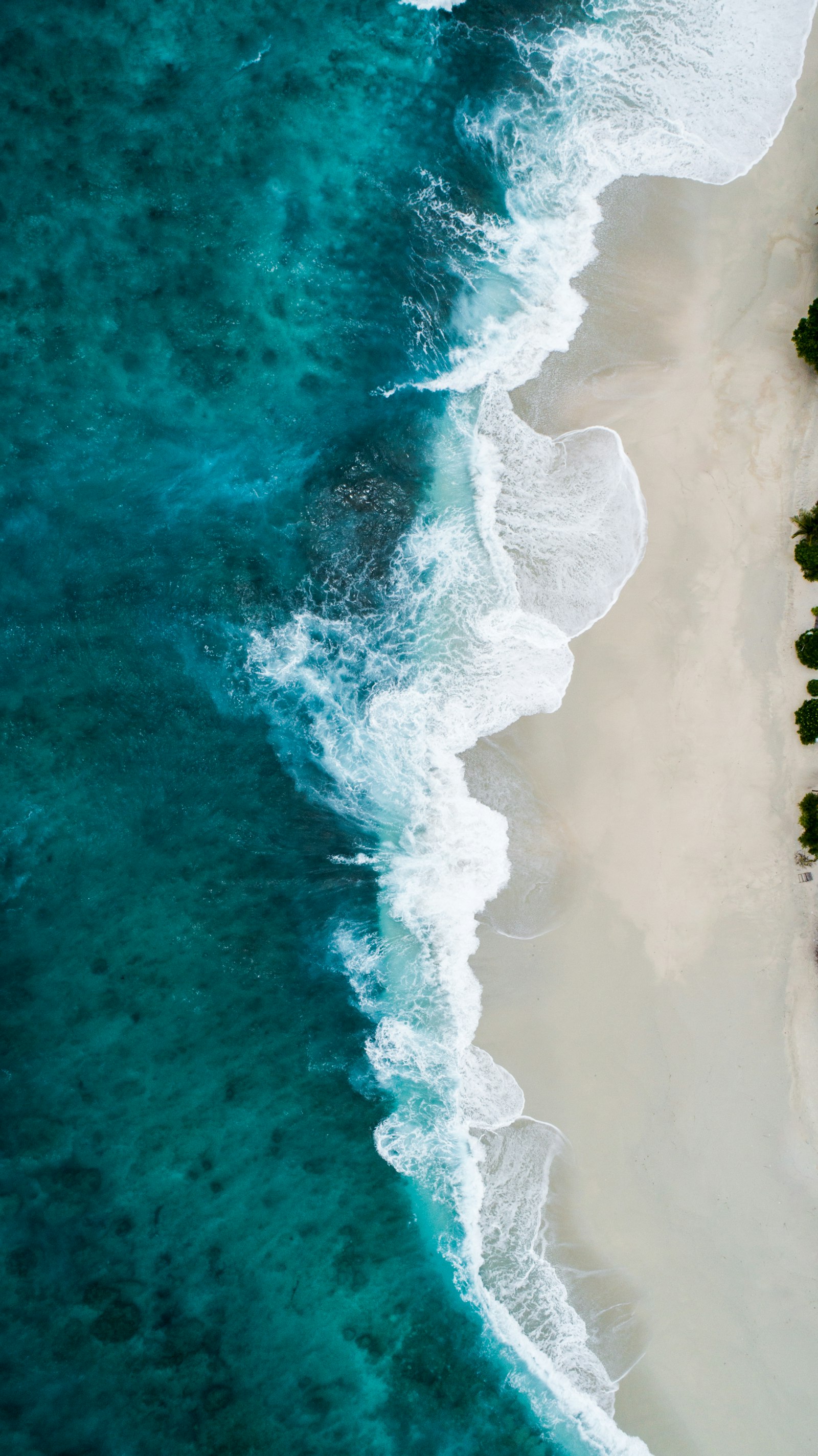
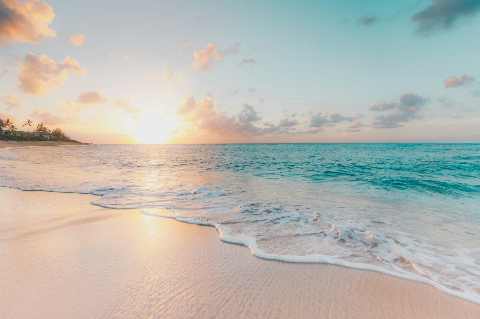
What Sea Paddling Looks Like
We don't have paddler photos of this route yet — these images show typical sea scenery in Ireland. Paddled here? Share your shots.
Conditions
What are the current paddling conditions at Glengarriff Bay?
Weather
27°C
Clear Sky
Wind
18 km/h
SE · Gentle Breeze
UV Index
6
High
Location
51.75°N
9.55°W
Live conditions from Open-Meteo · updated just now · Always check Met Éireann before paddling.
Stay Safe
How do I stay safe paddling Glengarriff Bay?
1
Plan Around the Tides
Irish coastal tides run on a roughly 6-hour cycle with tidal streams that can exceed your paddling speed. Check local tide tables, time your launch with the flood or ebb in your favour, and never fight a strong tidal race.
2
Carry a VHF Radio
A DSC-equipped VHF is the most reliable way to reach the Coast Guard if you get into trouble offshore. A phone is a backup, not a primary. File a Safetrx plan on the Irish Coast Guard app before every trip.
3
Respect Offshore Wind
Offshore winds can push paddlers out to sea faster than they can return. Avoid offshore conditions above Force 3 (12 km/h), and turn back early if wind is building against tide — the chop can escalate rapidly.
Discussion
Paddler Comments
Community
Share Your Experience
Paddled Glengarriff Bay? Share your trip report with the community.
Write Trip Report
No comments yet on this route.
Be the first to share your experience — conditions, access, hazards, or anything a future paddler should know.
Log in to comment or create an account.