About This Route
What is kayaking Dingle Peninsula like?
Launch from Dingle's colourful harbour and paddle along the dramatic coast towards Eask Tower. Look for Fungie's dolphin successors in the harbour mouth, and marvel at the Blasket Islands on the horizon. Sea cliffs, caves, and colonies of razorbills and guillemots make this an unforgettable coastal adventure for experienced sea kayakers.
How do I paddle Dingle Peninsula? Put-in, take-out and logistics
Dingle Marina sits in the inner harbour, sheltered by the long arm of the harbour wall, and provides the most convenient launch for this coastal loop. The harbour mouth is where bottlenose dolphins are frequently spotted — Fungie, the famous resident dolphin, was a fixture here for over 30 years until his disappearance in 2020, and other dolphins from the Shannon Estuary population are now regular visitors. Once clear of the harbour, the coast turns south-west towards Eask Tower, a curious 19th-century stone structure built on the hilltop above to guide ships into the harbour, and the cliffs below it drop 60 metres to the water.
When is the best time to paddle Dingle Peninsula?
This is advanced sea kayaking territory: the coast is fully exposed to Atlantic swell from the south-west, and the headlands create tidal races and clapotis that can catch even experienced paddlers off guard. Timing is everything — launch on a rising tide with light offshore winds, ideally in the morning before the sea breeze develops. The cliffs between Eask Tower and Crow Rock host nesting razorbills, guillemots, and fulmars from April to July, and the noise and smell of a seabird colony from water level is an experience entirely different from viewing from the clifftop. Several sea caves indent the coastline, accessible in calm conditions at mid-tide. The Blasket Islands are visible on the horizon to the west, and on the return leg the views north across Dingle Bay to the Slieve Mish Mountains are superb. The full 12 km loop requires a minimum of 3 hours, but conditions should be monitored constantly — if the forecast deteriorates, cut the route short and return through the harbour mouth.
Route Details
Put-in Point
Dingle Marina
Take-out Point
Dingle Marina (loop)
Best Season
June - September
Water Type
Sea
Parking
Yes, Dingle Marina
Facilities
Full town facilities in Dingle
View on Map
Navigate
Where is Dingle Peninsula on the map?
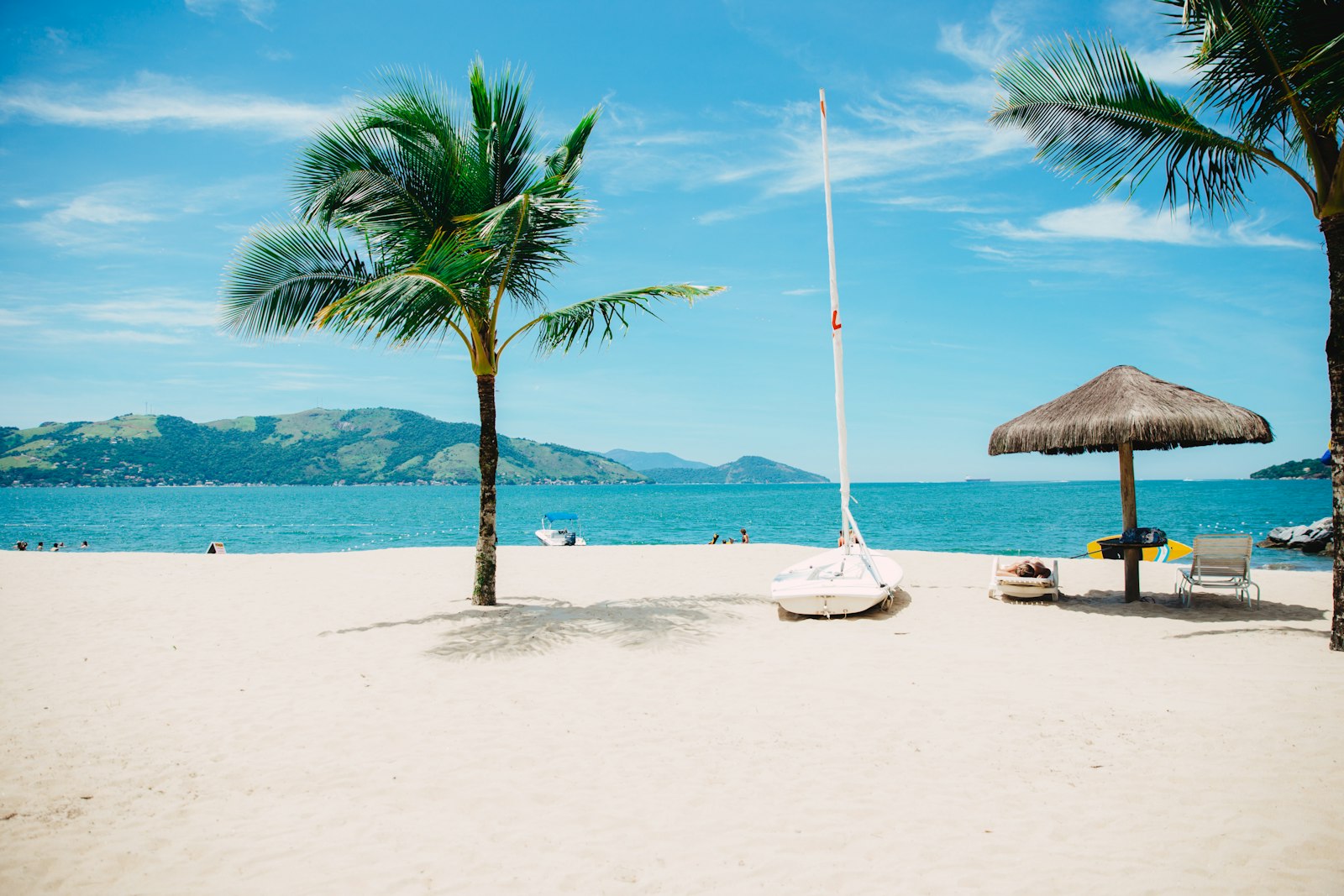
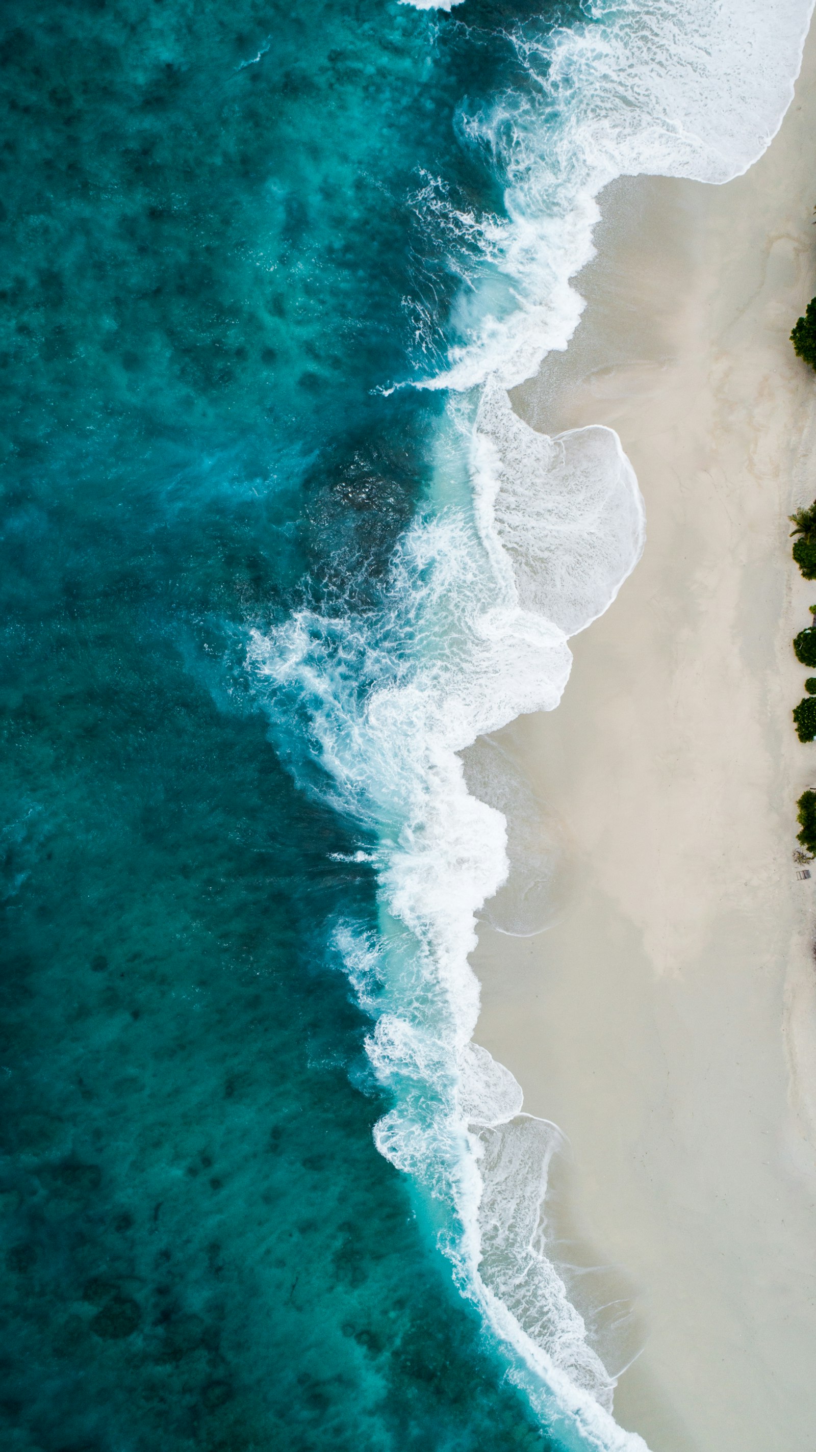
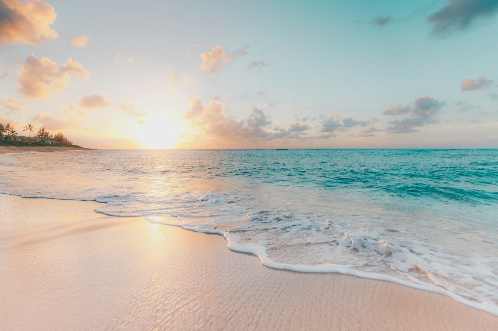
Representative Scenery
What Sea Paddling Looks Like
We don't have paddler photos of this route yet — these images show typical sea scenery in Ireland. Paddled here? Share your shots.
Conditions
What are the current paddling conditions at Dingle Peninsula?
Weather
29°C
Clear Sky
Wind
4 km/h
SE · Cal
UV Index
5.7
Moderate
Location
52.14°N
10.27°W
Live conditions from Open-Meteo · updated just now · Always check Met Éireann before paddling.
Stay Safe
How do I stay safe paddling Dingle Peninsula?
1
Plan Around the Tides
Irish coastal tides run on a roughly 6-hour cycle with tidal streams that can exceed your paddling speed. Check local tide tables, time your launch with the flood or ebb in your favour, and never fight a strong tidal race.
2
Carry a VHF Radio
A DSC-equipped VHF is the most reliable way to reach the Coast Guard if you get into trouble offshore. A phone is a backup, not a primary. File a Safetrx plan on the Irish Coast Guard app before every trip.
3
Respect Offshore Wind
Offshore winds can push paddlers out to sea faster than they can return. Avoid offshore conditions above Force 3 (12 km/h), and turn back early if wind is building against tide — the chop can escalate rapidly.
Discussion
Paddler Comments
Community
Share Your Experience
Paddled Dingle Peninsula? Share your trip report with the community.
Write Trip Report
No comments yet on this route.
Be the first to share your experience — conditions, access, hazards, or anything a future paddler should know.
Log in to comment or create an account.