About This Route
What is kayaking Lough Derg like?
Explore the largest lake on the Shannon from the charming twin towns of Killaloe and Ballina. Paddle north along the Clare shoreline towards Holy Island (Inis Cealtra), home to a remarkable collection of early Christian ruins including a round tower. Watch for great crested grebes and cormorants nesting on the wooded islands. The route forms part of the Lough Derg Blueway, the marked paddling network that makes this one of the best ways to explore Lough Derg by kayak.
How do I paddle Lough Derg? Put-in, take-out and logistics
Lough Derg sits at the southern end of the navigable Shannon and is the busiest lake on the system for motor cruisers — you will share the water with hire boats from Portumna, Terryglass and Mountshannon all summer. Launching from Killaloe Harbour (Co. Clare side) gives you a sheltered start on the western bank before you cross open water towards Inis Cealtra. Keep to the 10 kph inshore zone marked by yellow buoys, hug the Clare shore on the northbound leg, and listen for approaching engines — sound carries strangely on Derg and cruisers sit deep in the water, so they can be on top of you faster than you'd expect.
When is the best time to paddle Lough Derg?
Inis Cealtra (Holy Island) lies about 6 km north of Killaloe and makes the natural turn-point. There are six surviving church ruins, a 24-metre round tower, and hundreds of early-Christian grave slabs still legible in the grass — pull up on the stony northern beach and allow at least half an hour ashore. The return leg can be tough if a southerly has picked up through the day; many paddlers prefer to cross the lake near Scarriff Bay and return down the Tipperary shore for variety, though this adds roughly 2 km. The lake also supports a large wintering population of tufted duck and goldeneye, and white-tailed eagles nesting at Mountshannon since 2013 are now regularly spotted overhead.
Route Details
Put-in Point
Killaloe Harbour
Take-out Point
Killaloe Harbour (loop)
Best Season
May - September
Water Type
Lake
Parking
Yes, at Killaloe Harbour
Facilities
Full town facilities in Killaloe
View on Map
Navigate
Where is Lough Derg on the map?
Representative Scenery
What Lake Paddling Looks Like
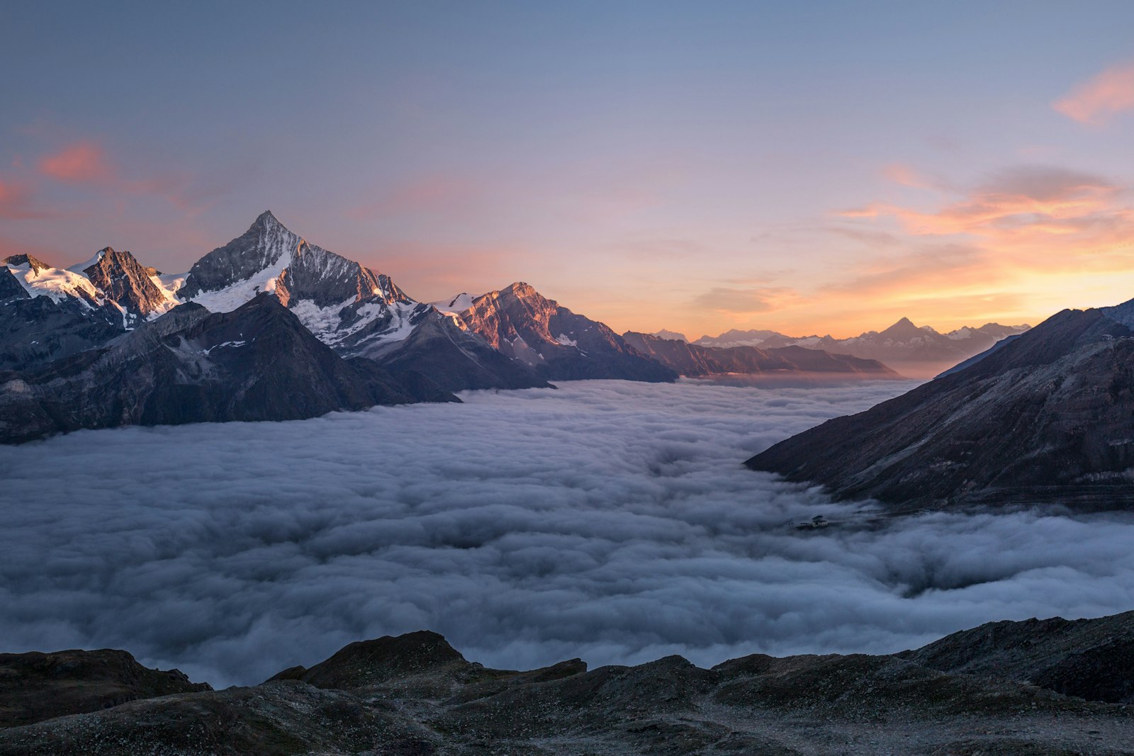
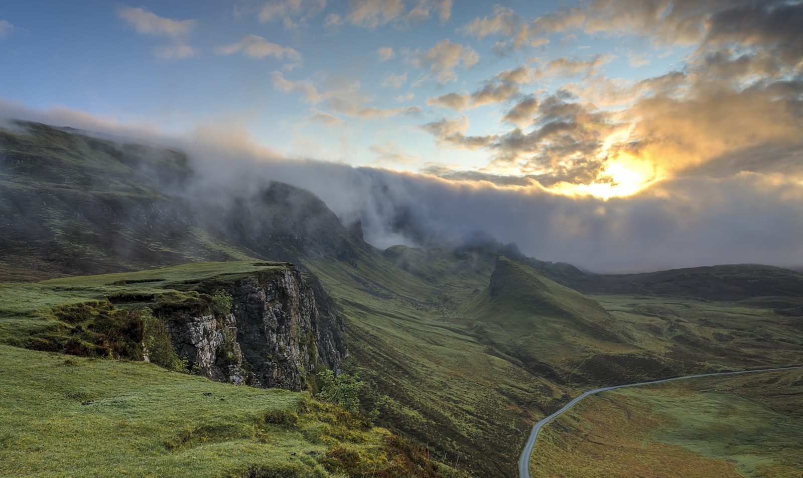
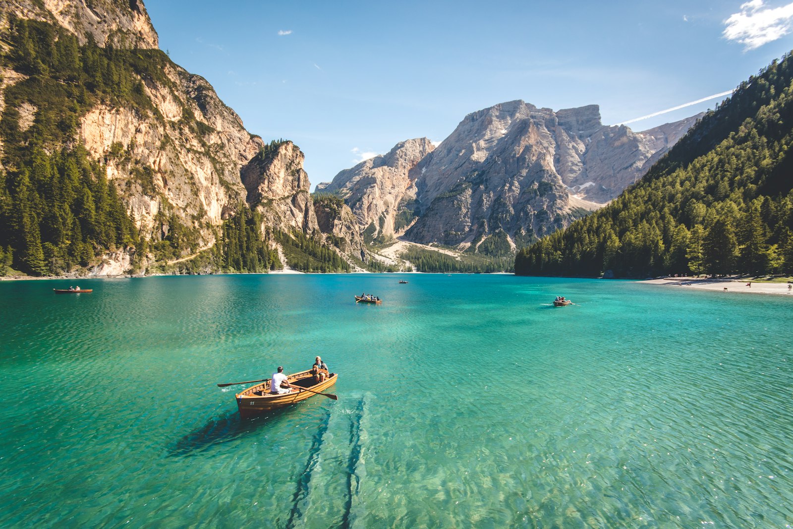
We don't have paddler photos of this route yet — these images show typical lake scenery in Ireland. Paddled here? Share your shots.
Conditions
What are the current paddling conditions at Lough Derg?
Weather
30°C
Clear Sky
Wind
14 km/h
SE · Gentle Breeze
UV Index
5.6
Moderate
Location
52.85°N
8.33°W
Live conditions from Open-Meteo · updated just now · Always check Met Éireann before paddling.
Stay Safe
How do I stay safe paddling Lough Derg?
1
Watch for Wind Funnels
Lakes surrounded by hills and mountains can channel wind into sudden gusts across open water. Check the forecast before launching and stay within swimming distance of the shoreline if gusts above 20 km/h are expected.
2
Respect Cold Water
Irish lake temperatures rarely exceed 16°C even in summer, and can trigger cold water shock within seconds of immersion. Wear a wetsuit or drysuit outside June–August, and always wear a properly fitted PFD.
3
File a Float Plan
Open water has few landmarks and fog can close in quickly. Leave your route and expected return time with someone ashore, carry a whistle, and bring a fully charged phone or VHF radio in a waterproof case.
Discussion
Paddler Comments
Community
Share Your Experience
Paddled Lough Derg? Share your trip report with the community.
Write Trip Report
No comments yet on this route.
Be the first to share your experience — conditions, access, hazards, or anything a future paddler should know.
Log in to comment or create an account.