About This Route
What is kayaking Lough Leane like?
A shorter, beginner-friendly circuit focusing on Innisfallen Island and the sheltered south-eastern corner of Lough Leane. Land on Innisfallen to explore the atmospheric ruins where the Annals of Innisfallen were composed. White-tailed eagles, reintroduced to Killarney, are regularly spotted soaring above the oak-clad shoreline.
How do I paddle Lough Leane? Put-in, take-out and logistics
Lough Leane is the largest of Killarney's three lakes and sits entirely within the national park, which means no motorised craft are permitted — a genuine rarity in Ireland and a huge advantage for paddlers. Launch from the Ross Castle slipway, where the car park fills quickly in July and August, so arriving before 10 a.m. is wise. The first leg south-east along the shore passes through ancient sessile oakwood classified as a Special Area of Conservation, and the canopy comes right down to the waterline in places, creating shaded tunnels where you'll hear warblers and treecreepers.
When is the best time to paddle Lough Leane?
Innisfallen Island is the centrepiece of this route and sits about 1.5 km from the slipway. The monastic settlement here dates to the 6th century, and it was on this island that the Annals of Innisfallen — one of the key chronicles of early medieval Ireland — were compiled over several hundred years. Pull up on the small beach on the eastern side and walk the grassy loop past the Romanesque church doorway and the yew tree reputed to be over 700 years old. Back on the water, the return leg hugs the south-eastern shore towards Muckross and Brickeen Bridge, where the lake narrows into a shallow channel connecting to Muckross Lake. Keep an eye overhead: the white-tailed eagle reintroduction programme based in Killarney has produced breeding pairs since 2013, and these enormous birds — wingspan over two metres — are now a regular sight circling above Tomies Mountain.
Route Details
Put-in Point
Ross Castle Slipway
Take-out Point
Ross Castle Slipway (loop)
Best Season
April - October
Water Type
Lake
Parking
Yes, Ross Castle car park
Facilities
Toilets, visitor centre at Ross Castle
View on Map
Navigate
Where is Lough Leane on the map?
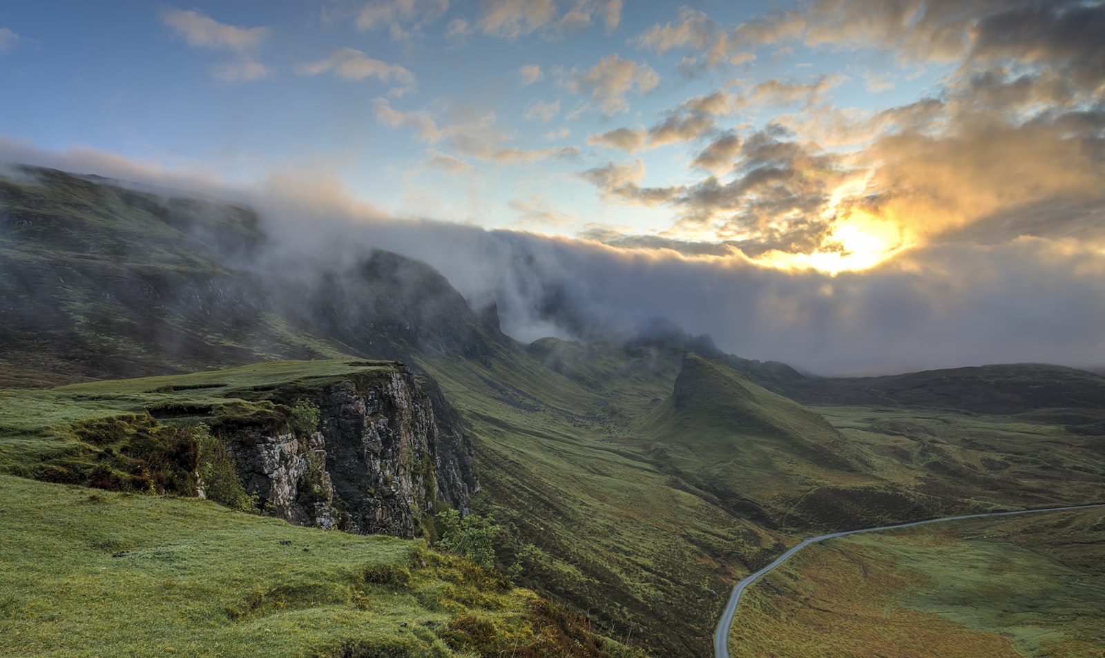
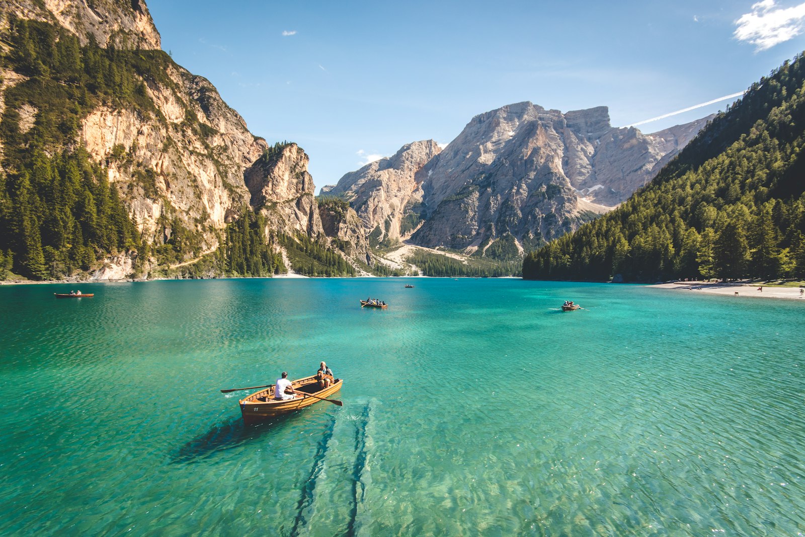
Representative Scenery
What Lake Paddling Looks Like
We don't have paddler photos of this route yet — these images show typical lake scenery in Ireland. Paddled here? Share your shots.

Conditions
What are the current paddling conditions at Lough Leane?
Weather
29°C
Clear Sky
Wind
14 km/h
E · Gentle Breeze
UV Index
5.7
Moderate
Location
52.03°N
9.54°W
Live conditions from Open-Meteo · updated just now · Always check Met Éireann before paddling.
Stay Safe
How do I stay safe paddling Lough Leane?
1
Watch for Wind Funnels
Lakes surrounded by hills and mountains can channel wind into sudden gusts across open water. Check the forecast before launching and stay within swimming distance of the shoreline if gusts above 20 km/h are expected.
2
Respect Cold Water
Irish lake temperatures rarely exceed 16°C even in summer, and can trigger cold water shock within seconds of immersion. Wear a wetsuit or drysuit outside June–August, and always wear a properly fitted PFD.
3
File a Float Plan
Open water has few landmarks and fog can close in quickly. Leave your route and expected return time with someone ashore, carry a whistle, and bring a fully charged phone or VHF radio in a waterproof case.
Discussion
Paddler Comments
Community
Share Your Experience
Paddled Lough Leane? Share your trip report with the community.
Write Trip Report
No comments yet on this route.
Be the first to share your experience — conditions, access, hazards, or anything a future paddler should know.
Log in to comment or create an account.