About This Route
What is kayaking Mannin Bay like?
Mannin Bay's coral strand and turquoise waters feel more Caribbean than Connemara. This sheltered bay is ideal for beginners, with calm waters and tiny islands to explore. The white marl beach is unique in Ireland, composed of calcified seaweed rather than sand, and the shallow waters glow an extraordinary blue-green on sunny days.
How do I paddle Mannin Bay? Put-in, take-out and logistics
Mannin Bay sits on the south Connemara coast between Ballyconneely and Clifden, and owes its remarkable colour to the white marl that forms its beach and seabed. This material — fragments of calcified coralline algae, not true coral — creates a Caribbean-like turquoise effect when sunlight hits the shallow water, and the bay has become one of Connemara's most photographed locations as a result. The beach car park is small and unsurfaced, so arrive early in July and August. Launch directly from the strand; the gradient is gentle and the water rarely exceeds 2 metres within the sheltered inner bay.
When is the best time to paddle Mannin Bay?
Several small islands and rocky outcrops dot the bay and make natural destinations for a beginner-friendly exploration. The largest, Cruagh Island, sits on the western side and can be circumnavigated in about 30 minutes. The bay is sheltered from the prevailing south-westerlies by a chain of low headlands, but it is open to the north-west, so check the wind direction before heading out. At low water springs, extensive areas of the inner bay dry out completely, and timing the paddle around mid-tide gives the best combination of depth and shelter. Marine life is surprisingly rich in the shallow water: spider crabs, starfish, and cushion stars are visible on the marl bottom, and grey seals occasionally visit from the outer coast. The nearest village facilities are in Ballyconneely, about 3 km south-east, where there is a pub, a small shop, and public toilets. The 7 km loop around the bay's islands is one of the gentlest sea paddles on the west coast.
Route Details
Put-in Point
Mannin Bay Beach
Take-out Point
Mannin Bay Beach (loop)
Best Season
May - September
Water Type
Sea
Parking
Yes, at the beach
Facilities
Limited, Ballyconneely village nearby
View on Map
Navigate
Where is Mannin Bay on the map?
Representative Scenery
What Sea Paddling Looks Like
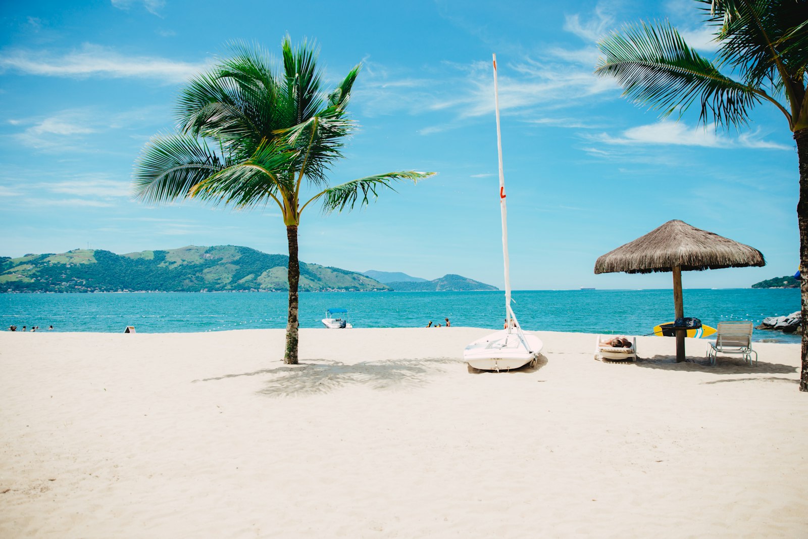
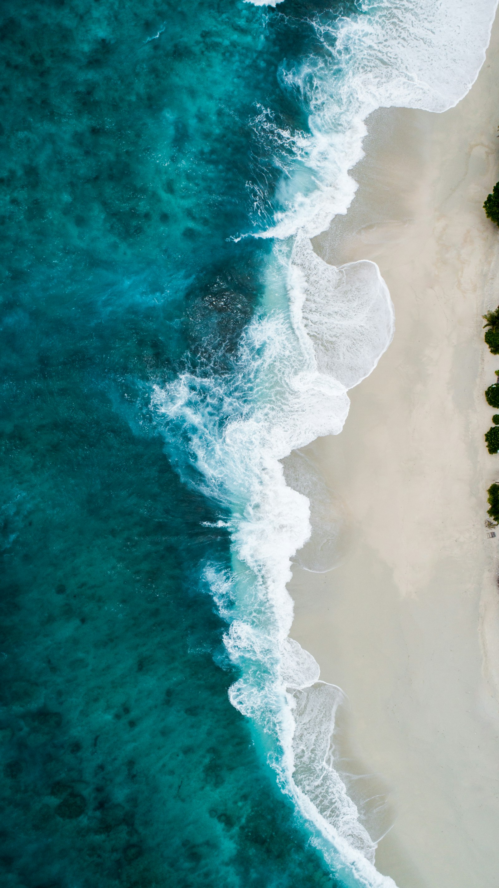
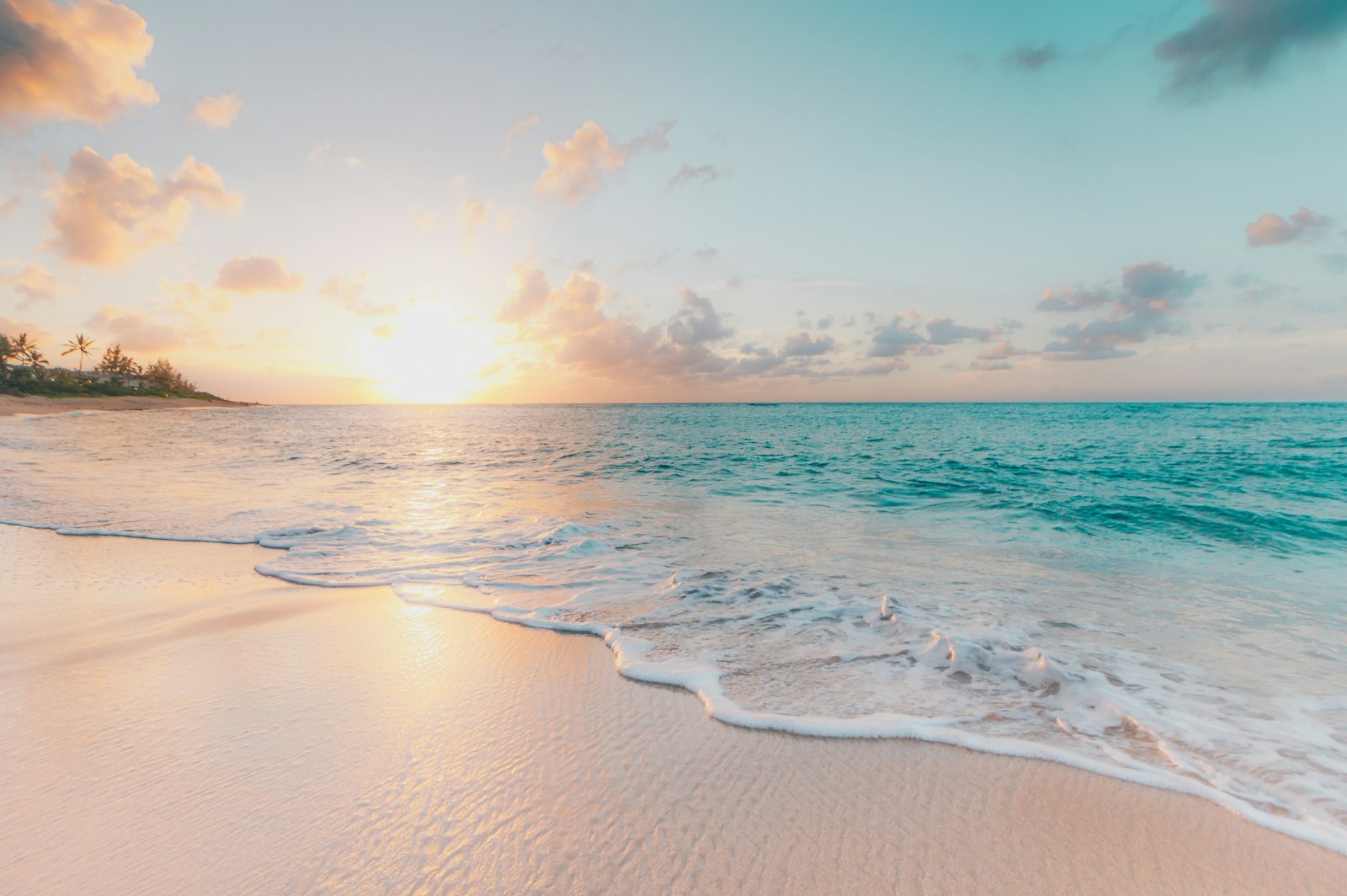
We don't have paddler photos of this route yet — these images show typical sea scenery in Ireland. Paddled here? Share your shots.
Conditions
What are the current paddling conditions at Mannin Bay?
Weather
27°C
Clear Sky
Wind
22 km/h
E · Moderate Breeze
UV Index
5.6
Moderate
Location
53.42°N
10.08°W
Live conditions from Open-Meteo · updated just now · Always check Met Éireann before paddling.
Stay Safe
How do I stay safe paddling Mannin Bay?
1
Plan Around the Tides
Irish coastal tides run on a roughly 6-hour cycle with tidal streams that can exceed your paddling speed. Check local tide tables, time your launch with the flood or ebb in your favour, and never fight a strong tidal race.
2
Carry a VHF Radio
A DSC-equipped VHF is the most reliable way to reach the Coast Guard if you get into trouble offshore. A phone is a backup, not a primary. File a Safetrx plan on the Irish Coast Guard app before every trip.
3
Respect Offshore Wind
Offshore winds can push paddlers out to sea faster than they can return. Avoid offshore conditions above Force 3 (12 km/h), and turn back early if wind is building against tide — the chop can escalate rapidly.
Discussion
Paddler Comments
Community
Share Your Experience
Paddled Mannin Bay? Share your trip report with the community.
Write Trip Report
No comments yet on this route.
Be the first to share your experience — conditions, access, hazards, or anything a future paddler should know.
Log in to comment or create an account.