About This Route
What is kayaking River Barrow like?
A gentle downstream paddle along Ireland's second-longest river from the medieval market town of Graiguenamanagh, overlooked by 13th-century Duiske Abbey. The Barrow meanders through a lush valley flanked by the Blackstairs Mountains, with kingfishers darting from overhanging willows. Finish at the ancient monastic site of St Mullins where the tidal waters begin.
How do I paddle River Barrow? Put-in, take-out and logistics
The Graiguenamanagh-to-St-Mullins stretch is the most popular section of the Barrow Navigation and runs roughly 9 km downstream between two historic landings. Launch from the town quay directly beneath Duiske Abbey, a restored Cistercian church founded in 1204 that still functions as a parish church today. The Barrow is canalised along this stretch with a towpath on the eastern bank — the Barrow Way long-distance walking route — and you will pass one lock (Ballykeenan) roughly halfway, which requires a short portage: lift out on the river-right side above the lock, wheel or carry around, and re-enter below. Allow 20-30 minutes for the portage.
When is the best time to paddle River Barrow?
Current varies significantly by season: after heavy winter rain the Barrow moves surprisingly fast and debris comes down the river, so most guides advise paddling April through October when levels settle. St Mullins is where the navigable river meets tidewater — the monastic site above the slip was founded by St Moling in the 7th century and includes a motte, ruined church, holy well and medieval graveyard on the hill. Time your arrival for high water slack if you want an easy take-out; the tidal range here is 3-4 metres and the mud exposed at low tide is uncomfortable to deal with. Most paddlers arrange a shuttle back to Graiguenamanagh, or base themselves at Mullichain Café at the St Mullins landing for a full-circle drive.
Route Details
Put-in Point
Graiguenamanagh Town Quay
Take-out Point
St Mullins Village
Best Season
April - October
Water Type
River
Parking
Yes, both ends
Facilities
Pubs, shops in Graiguenamanagh
View on Map
Navigate
Where is River Barrow on the map?
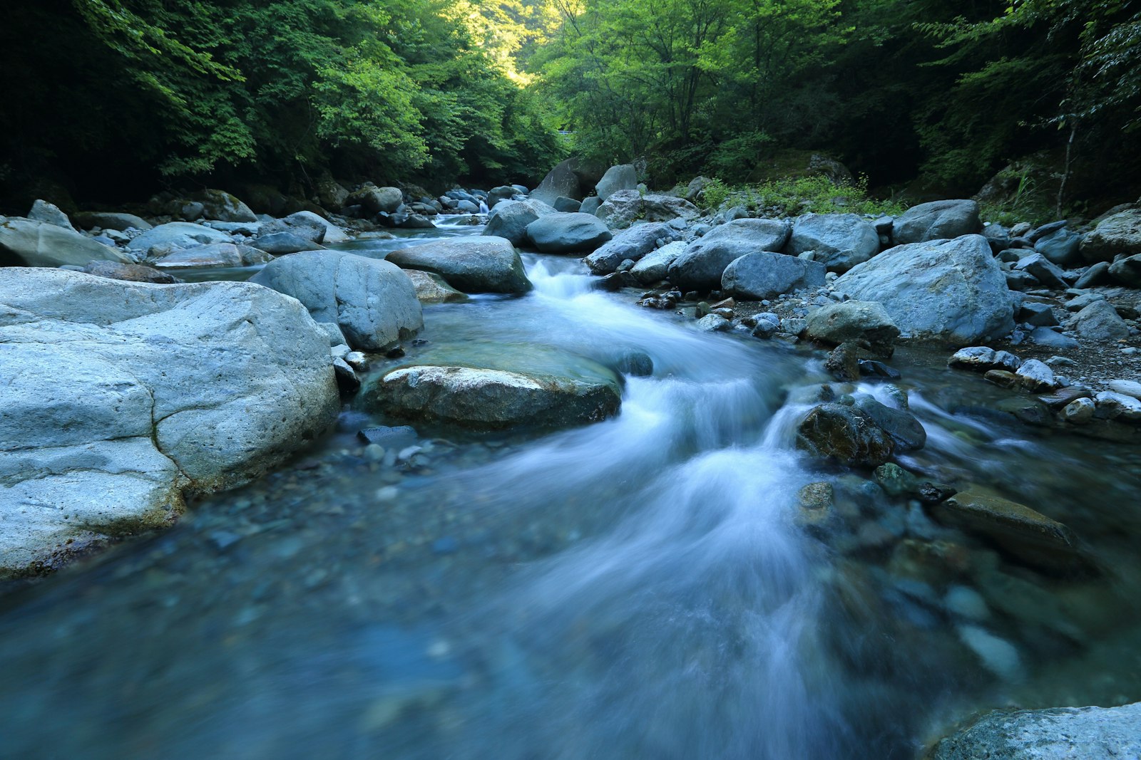
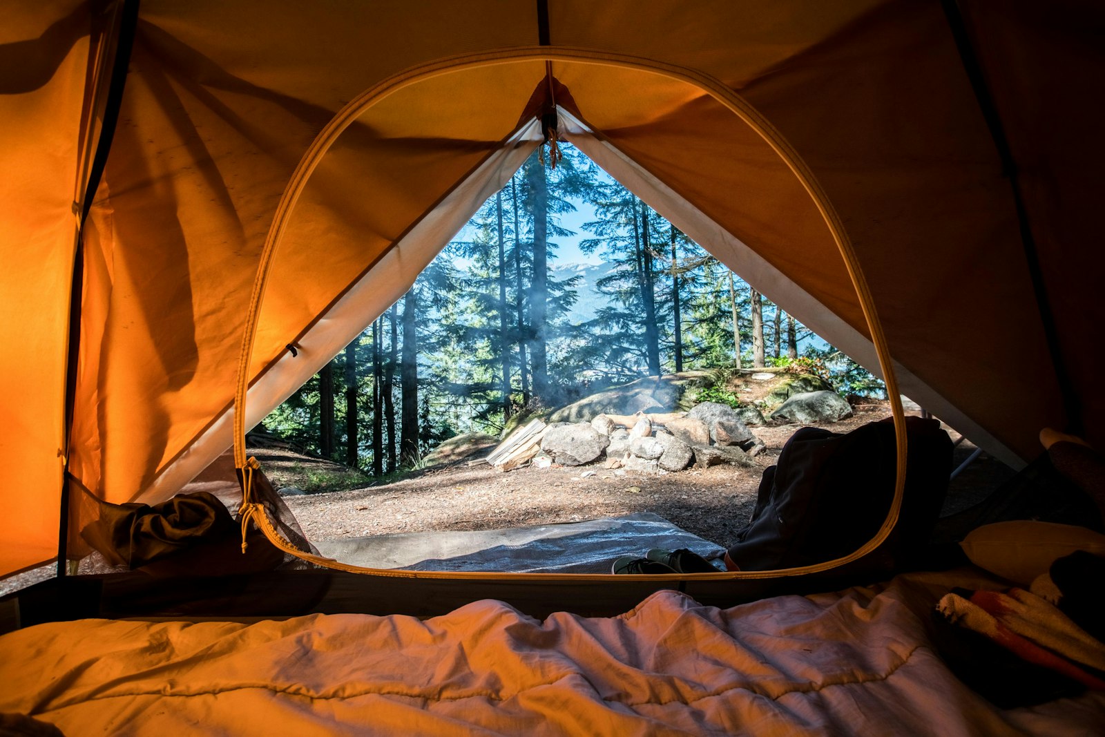
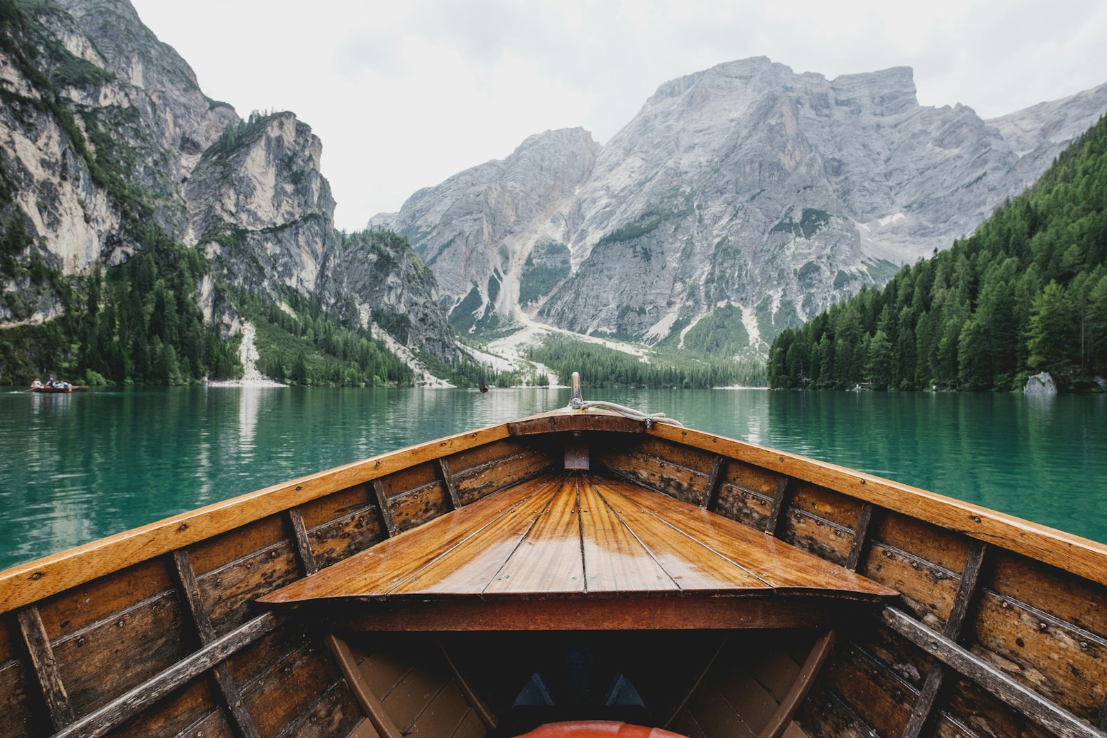
Representative Scenery
What River Paddling Looks Like
We don't have paddler photos of this route yet — these images show typical river scenery in Ireland. Paddled here? Share your shots.
Conditions
What are the current paddling conditions at River Barrow?
Weather
27°C
Clear Sky
Wind
21 km/h
SE · Moderate Breeze
UV Index
5.6
Moderate
Location
52.50°N
6.97°W
Live conditions from Open-Meteo · updated just now · Always check Met Éireann before paddling.
Stay Safe
How do I stay safe paddling River Barrow?
1
Know Your Weirs and Strainers
Weirs, low-head dams, and fallen trees (strainers) are the most common fatal hazards on Irish rivers. Scout before you paddle, know the location of every portage, and never approach a weir from upstream.
2
Check Water Levels Before You Go
Rivers change character dramatically with rainfall — a Grade 1 run in summer can become a serious Grade 3 after 24 hours of rain. Check OPW or EPA river gauge data and local paddling group reports before launching.
3
Practise Self-Rescue in Moving Water
Swimming in current is different from swimming in still water. Point feet downstream, float on your back, and aim across the current toward shore — never try to stand up in moving water above knee depth.
Discussion
Paddler Comments
Community
Share Your Experience
Paddled River Barrow? Share your trip report with the community.
Write Trip Report
No comments yet on this route.
Be the first to share your experience — conditions, access, hazards, or anything a future paddler should know.
Log in to comment or create an account.