About This Route
What is kayaking River Lee like?
A pleasant downstream paddle from below Inniscarra Dam into Cork city along the River Lee. The river flows through a mix of wooded valleys and open parkland, passing Ballincollig Regional Park. Finish at the Lee Fields where locals stroll along the riverbank — a uniquely urban arrival after a rural start.
How do I paddle River Lee? Put-in, take-out and logistics
The River Lee below Inniscarra Dam is effectively dam-controlled, which means the water level is more predictable than on most Irish rivers — but it also means the ESB can release water without warning, raising levels significantly within minutes. Check the ESB's generation schedule before launching, and be prepared for a noticeable increase in flow if the turbines start. The put-in is at the tailrace below the dam, accessible via a lane off the R618. The first few kilometres run through a narrow, heavily wooded valley where the river is shaded and the current steady.
When is the best time to paddle River Lee?
Ballincollig Regional Park opens up the landscape about 5 km downstream, with the ruins of the Royal Gunpowder Mills on the south bank — a sprawling complex that produced gunpowder for the British military from 1794 to 1903. Several of the canal channels and weirs associated with the mills are still visible from the water. Below Ballincollig the Lee widens and slows as it approaches Carrigrohane, where the river splits into its two famous channels — the north and south channels that create Cork's island city centre. The take-out at the Lee Fields is on the south bank about 1 km before the river splits, in a wide parkland area popular with walkers and joggers. This is a year-round route thanks to the regulated flow, though winter paddlers should note that water released from the dam is cold regardless of air temperature. The 12 km journey is gentle throughout — no rapids, no portages, and a steady current that does most of the work.
Route Details
Put-in Point
Inniscarra Dam Tailrace
Take-out Point
Lee Fields, Cork City
Best Season
All year
Water Type
River
Parking
Yes, at Inniscarra
Facilities
Limited at start, full facilities at finish
View on Map
Navigate
Where is River Lee on the map?
Representative Scenery
What River Paddling Looks Like
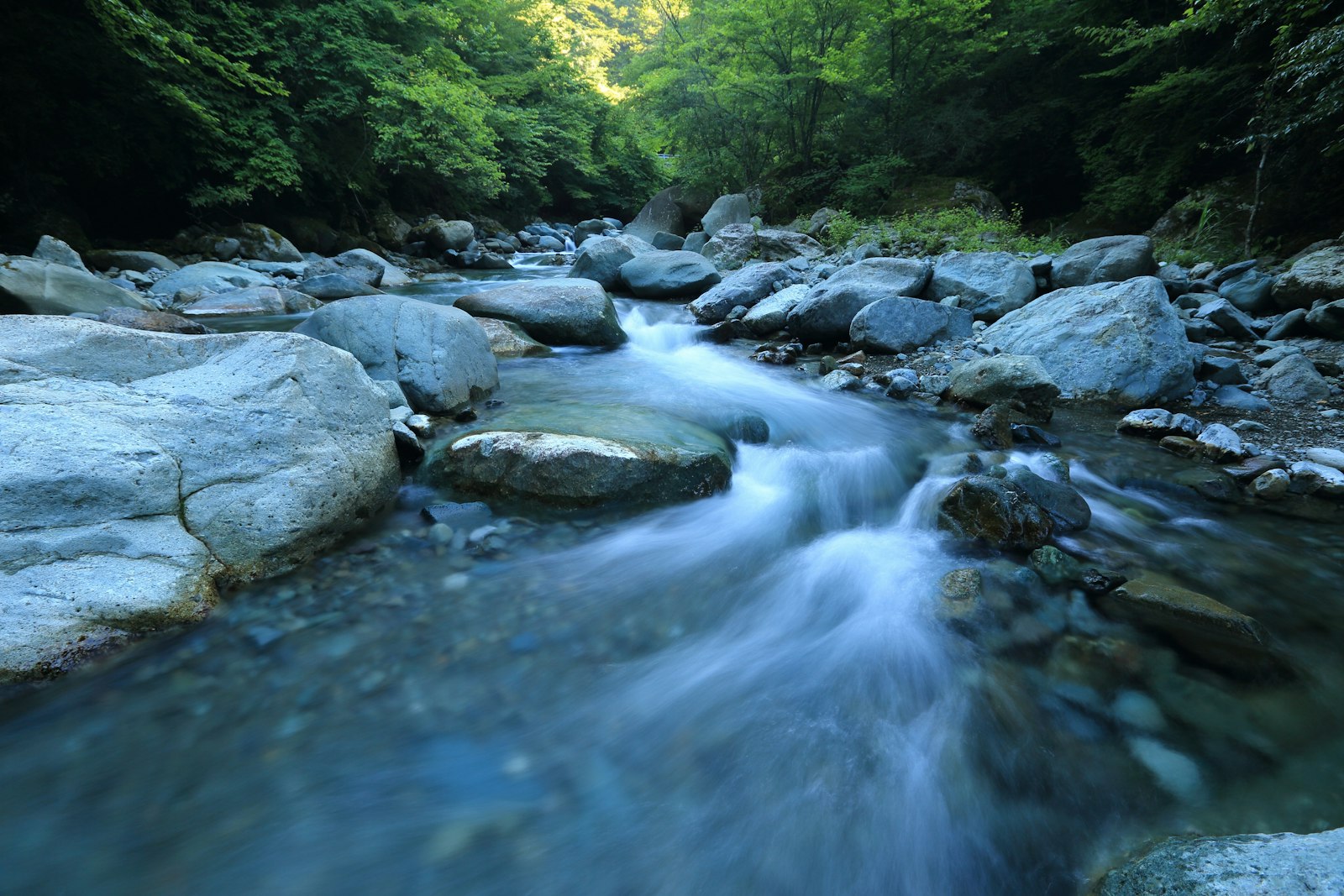
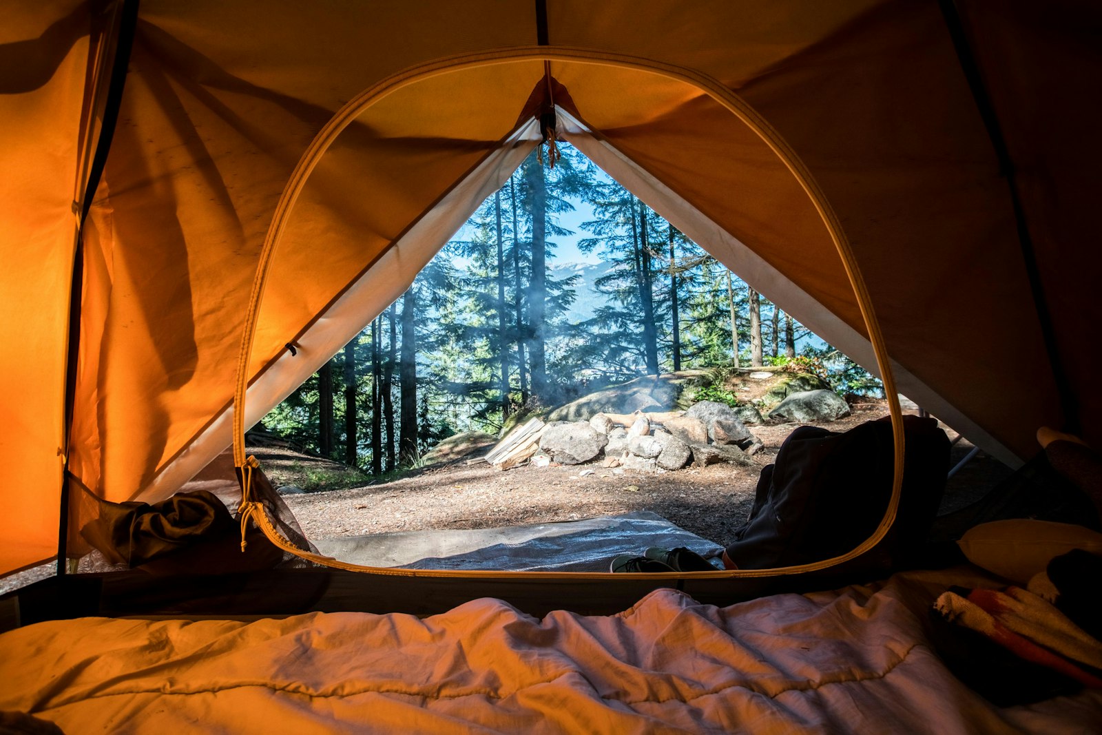
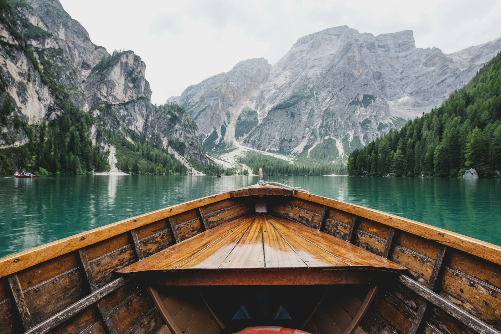
We don't have paddler photos of this route yet — these images show typical river scenery in Ireland. Paddled here? Share your shots.
Conditions
What are the current paddling conditions at River Lee?
Weather
29°C
Mainly Clear
Wind
10 km/h
N · Light Breeze
UV Index
1.8
Low
Location
51.90°N
8.48°W
Live conditions from Open-Meteo · updated just now · Always check Met Éireann before paddling.
Stay Safe
How do I stay safe paddling River Lee?
1
Know Your Weirs and Strainers
Weirs, low-head dams, and fallen trees (strainers) are the most common fatal hazards on Irish rivers. Scout before you paddle, know the location of every portage, and never approach a weir from upstream.
2
Check Water Levels Before You Go
Rivers change character dramatically with rainfall — a Grade 1 run in summer can become a serious Grade 3 after 24 hours of rain. Check OPW or EPA river gauge data and local paddling group reports before launching.
3
Practise Self-Rescue in Moving Water
Swimming in current is different from swimming in still water. Point feet downstream, float on your back, and aim across the current toward shore — never try to stand up in moving water above knee depth.
Discussion
Paddler Comments
Community
Share Your Experience
Paddled River Lee? Share your trip report with the community.
Write Trip Report
No comments yet on this route.
Be the first to share your experience — conditions, access, hazards, or anything a future paddler should know.
Log in to comment or create an account.