About This Route
What is kayaking Royal Canal like?
Follow the historic Royal Canal west from the university town of Maynooth through rich Kildare farmland. Built in the 1790s to rival the Grand Canal, the route passes Georgian-era locks and hump-backed bridges. The canal banks are lined with wildflowers in summer, and the still waters reflect the arched bridges in perfect symmetry.
How do I paddle Royal Canal? Put-in, take-out and logistics
The Royal Canal was built between 1790 and 1817 to connect Dublin to the Shannon at Cloondara, Co. Longford, and the Maynooth-to-Enfield section crosses the rich limestone farmland of north Kildare. Launch from Maynooth Harbour, a restored canal basin beside the town centre with ample parking and access to shops, cafes, and the university campus. The canal is dead flat — there is no current — and the 16 km to Enfield passes through a gentle pastoral landscape of grazing cattle, hawthorn hedges, and mature ash trees lining the towpath.
When is the best time to paddle Royal Canal?
The route passes through or near Kilcock, a small market town about 5 km west of Maynooth, where there is a convenient stopping point with pub food and public toilets. Between Kilcock and Enfield the canal enters more open countryside, and the cuttings through low hills expose layers of glacial till and limestone. Several Georgian-era locks punctuate the route — most are in a restored but non-operational state, meaning no portage is required as the gates remain open. The canal banks support a surprisingly rich ecology: kingfishers nest in the earth banks, moorhens and coots breed in the reeds, and the still water is home to perch, roach, and occasional pike. The 16 km distance makes this one of the longer beginner-friendly routes, but the absence of any current, waves, or tidal considerations means it can be paddled at whatever pace suits. Arrange a shuttle vehicle at Enfield, or paddle the return journey for a full 32 km day — the flat water means the distance is achievable for fit paddlers.
Route Details
Put-in Point
Maynooth Harbour
Take-out Point
Enfield
Best Season
April - October
Water Type
Canal
Parking
Yes, Maynooth town
Facilities
Full facilities in Maynooth
View on Map
Navigate
Where is Royal Canal on the map?
Representative Scenery
What Canal Paddling Looks Like
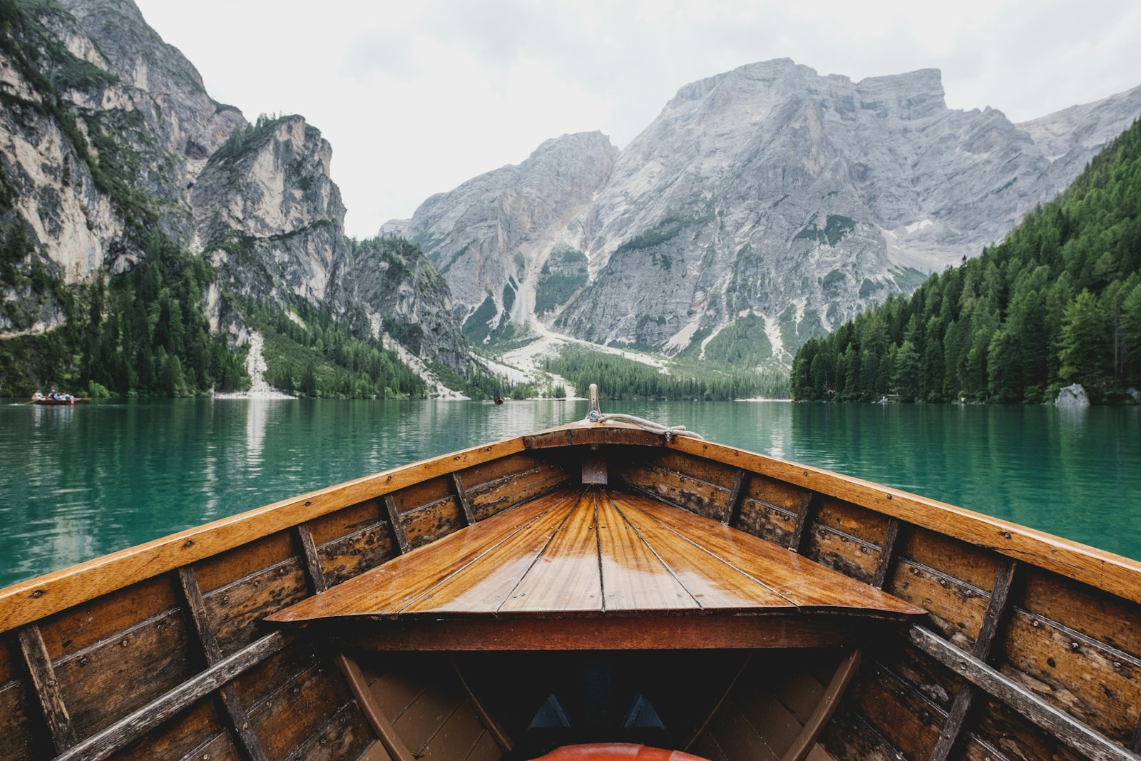
We don't have paddler photos of this route yet — these images show typical canal scenery in Ireland. Paddled here? Share your shots.
Conditions
What are the current paddling conditions at Royal Canal?
Weather
29°C
Mainly Clear
Wind
15 km/h
E · Gentle Breeze
UV Index
5.2
Moderate
Location
53.52°N
7.35°W
Live conditions from Open-Meteo · updated just now · Always check Met Éireann before paddling.
Stay Safe
How do I stay safe paddling Royal Canal?
1
Approach Locks With Care
Waterways Ireland locks cycle on a schedule but gates can open unexpectedly. Portage around active locks, stay well clear of gate recesses, and never paddle into a lock chamber unless staff have signalled you in.
2
Watch for Low Bridges
Canal bridges can have very low clearance, especially after heavy rainfall. Duck well in advance, keep paddles horizontal, and pass under one at a time. Some historic arches are narrow enough to require single-file passage.
3
Avoid Swallowing Canal Water
Canal water can carry waterborne bacteria including Leptospira (Weil's disease). Rinse off after paddling, cover any cuts with waterproof dressings before launching, and see a GP if you develop flu-like symptoms within two weeks.
Discussion
Paddler Comments
Community
Share Your Experience
Paddled Royal Canal? Share your trip report with the community.
Write Trip Report
No comments yet on this route.
Be the first to share your experience — conditions, access, hazards, or anything a future paddler should know.
Log in to comment or create an account.