About This Route
What is kayaking Bantry Bay like?
Cross from Bantry's historic pier to Whiddy Island, site of a former British naval base and oil terminal. The sheltered inner bay offers protection from Atlantic swells, while the Caha Mountains create a dramatic backdrop. Seals are common around Whiddy, and the island's south shore has small sandy beaches perfect for a picnic stop.
How do I paddle Bantry Bay? Put-in, take-out and logistics
Bantry Bay runs 35 km inland from the Atlantic, and the inner bay around Whiddy Island is exceptionally well sheltered — the Caha Mountains on the Beara side and the hills above Bantry on the north create a natural amphitheatre that blocks most wind. Launch from the town pier beside Bantry House, a Georgian mansion with Italianate gardens that is visible from the water throughout the crossing. The open-water crossing to Whiddy Island is roughly 1.5 km and takes 20-30 minutes in calm conditions; aim for the eastern tip of the island where a small stone pier provides a landing point.
When is the best time to paddle Bantry Bay?
Whiddy has a layered history: it served as a British naval anchorage during the Napoleonic Wars, and the remains of Napoleonic-era martello towers and gun batteries are visible along the shoreline. More recently, the Gulf Oil terminal on the island's north side was the site of the 1979 Betelgeuse disaster, one of Ireland's worst maritime tragedies — the memorial is on the island and is a sombre but important stop. The south shore of Whiddy is more inviting, with small sandy coves backed by rough pasture where the island's few remaining farming families graze cattle. Grey seals haul out on the rocks at the western end, and harbour porpoise are occasionally spotted in the deeper water beyond. The circumnavigation of Whiddy adds about 6 km to the basic crossing, making 11 km in total. Tidal flow in the inner bay is minimal, but the wind can funnel from the west in the afternoon, so plan to complete the return crossing before mid-afternoon if possible.
Route Details
Put-in Point
Bantry Pier
Take-out Point
Bantry Pier (loop)
Best Season
May - September
Water Type
Sea
Parking
Yes, Bantry town
Facilities
Full town facilities in Bantry
View on Map
Navigate
Where is Bantry Bay on the map?
Representative Scenery
What Sea Paddling Looks Like
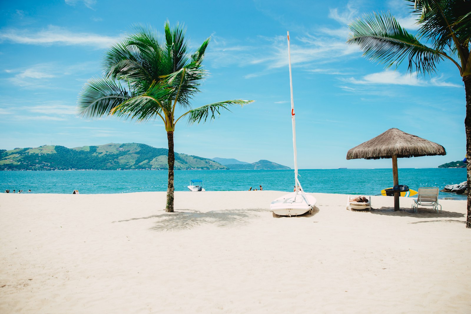
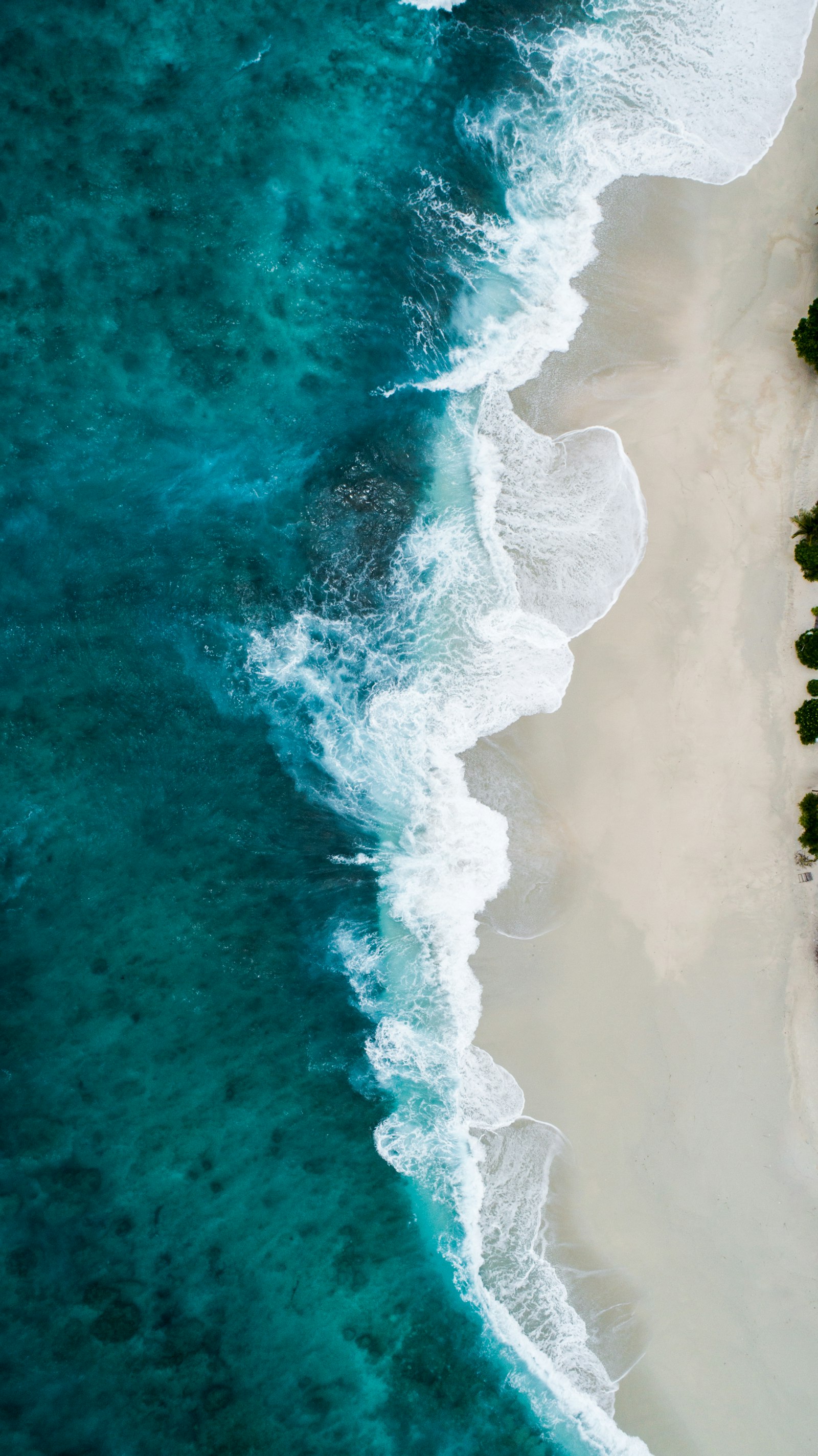
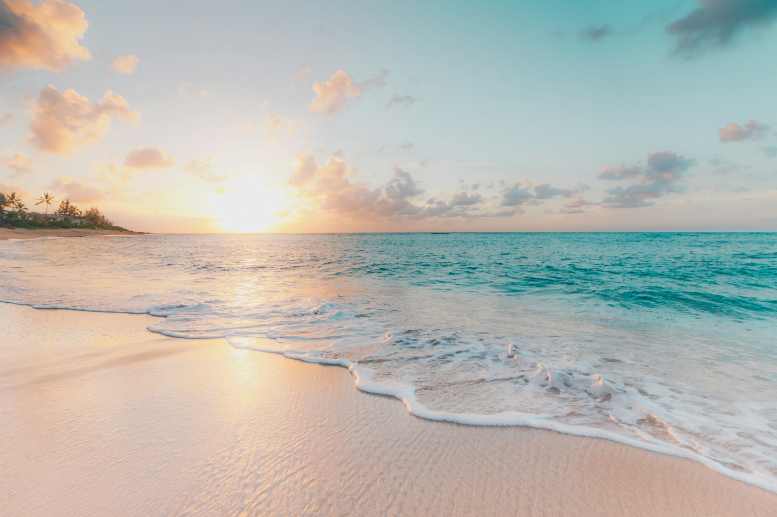
We don't have paddler photos of this route yet — these images show typical sea scenery in Ireland. Paddled here? Share your shots.
Conditions
What are the current paddling conditions at Bantry Bay?
Weather
26°C
Clear Sky
Wind
17 km/h
E · Gentle Breeze
UV Index
5.8
Moderate
Location
51.68°N
9.65°W
Live conditions from Open-Meteo · updated just now · Always check Met Éireann before paddling.
Stay Safe
How do I stay safe paddling Bantry Bay?
1
Plan Around the Tides
Irish coastal tides run on a roughly 6-hour cycle with tidal streams that can exceed your paddling speed. Check local tide tables, time your launch with the flood or ebb in your favour, and never fight a strong tidal race.
2
Carry a VHF Radio
A DSC-equipped VHF is the most reliable way to reach the Coast Guard if you get into trouble offshore. A phone is a backup, not a primary. File a Safetrx plan on the Irish Coast Guard app before every trip.
3
Respect Offshore Wind
Offshore winds can push paddlers out to sea faster than they can return. Avoid offshore conditions above Force 3 (12 km/h), and turn back early if wind is building against tide — the chop can escalate rapidly.
Discussion
Paddler Comments
Community
Share Your Experience
Paddled Bantry Bay? Share your trip report with the community.
Write Trip Report
No comments yet on this route.
Be the first to share your experience — conditions, access, hazards, or anything a future paddler should know.
Log in to comment or create an account.