About This Route
What is kayaking Carlingford Lough like?
Paddle from the medieval village of Carlingford, overlooked by King John's Castle, along the lough beneath the imposing Cooley Mountains. Across the water, the Mourne Mountains rise on the Northern Ireland side. The lough's sheltered waters are home to an active oyster farm and visiting pods of harbour porpoise.
How do I paddle Carlingford Lough? Put-in, take-out and logistics
Carlingford is a well-preserved medieval village on the southern shore of Carlingford Lough, squeezed between the water and the steep slopes of Slieve Foy (589 m), the highest peak in the Cooley Mountains. King John's Castle, a 12th-century Norman fortress, overlooks the harbour and is visible from the water throughout the paddle. The marina on the eastern side of the village provides a sheltered launch with parking, toilets, and a slipway. Head east along the Louth coast, keeping to the southern shore where the water is calmer and the views across to the Mourne Mountains on the Down side are spectacular.
When is the best time to paddle Carlingford Lough?
Carlingford Lough is a glacial fjord shared between the Republic and Northern Ireland, and the border runs down the middle of the lough — a geographical curiosity that adds a certain novelty to the paddle. The lough supports active oyster and mussel aquaculture, and you will pass lines of buoys marking the farm areas between Carlingford and Greenore; paddle outside the buoy lines to avoid fouling your paddle or rudder on the ropes. Harbour porpoise are regularly seen in the deeper water towards the centre of the lough, usually in small groups of 3-5 animals. The turn-point near Greenore gives views out to the open Irish Sea before you head back west. The return along the same coast is straightforward, though a developing onshore breeze in the afternoon can create a choppy fetch across the lough. The 9 km loop is compact and manageable, and the combination of mountain scenery, medieval heritage, and marine wildlife makes it one of the most rewarding paddles on the east coast.
Route Details
Put-in Point
Carlingford Marina
Take-out Point
Carlingford Marina (loop)
Best Season
May - September
Water Type
Sea
Parking
Yes, Carlingford village
Facilities
Full village facilities, adventure centre
View on Map
Navigate
Where is Carlingford Lough on the map?
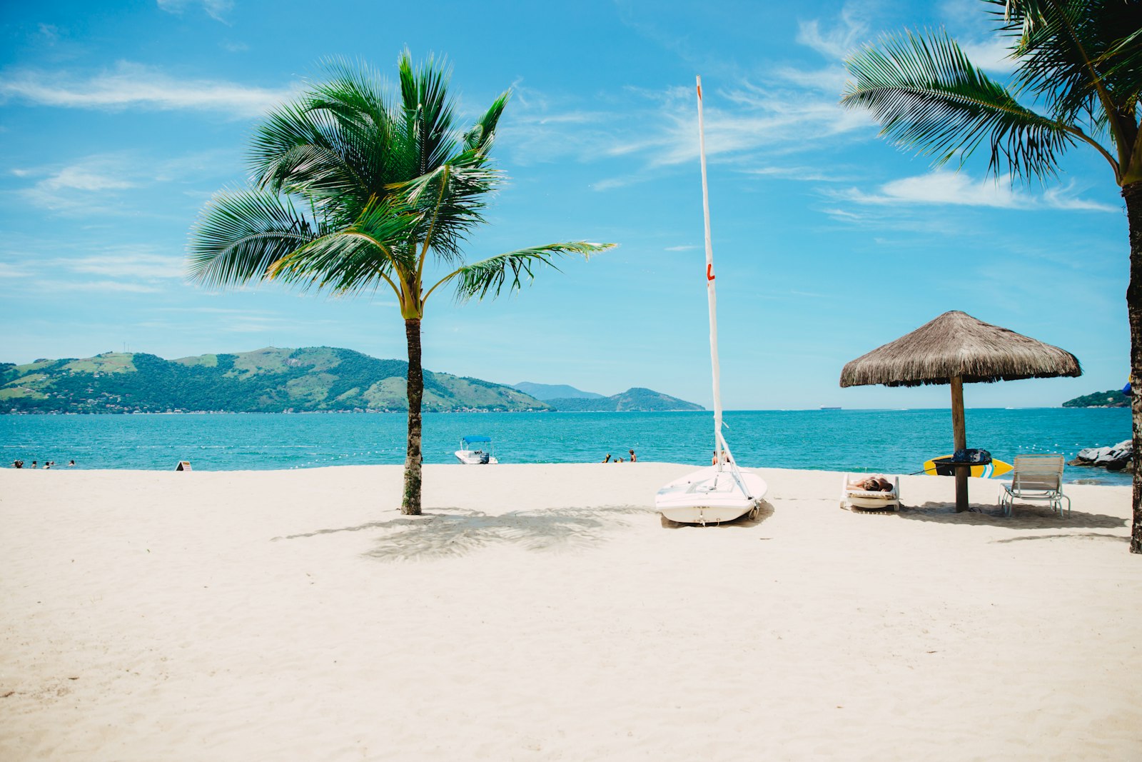
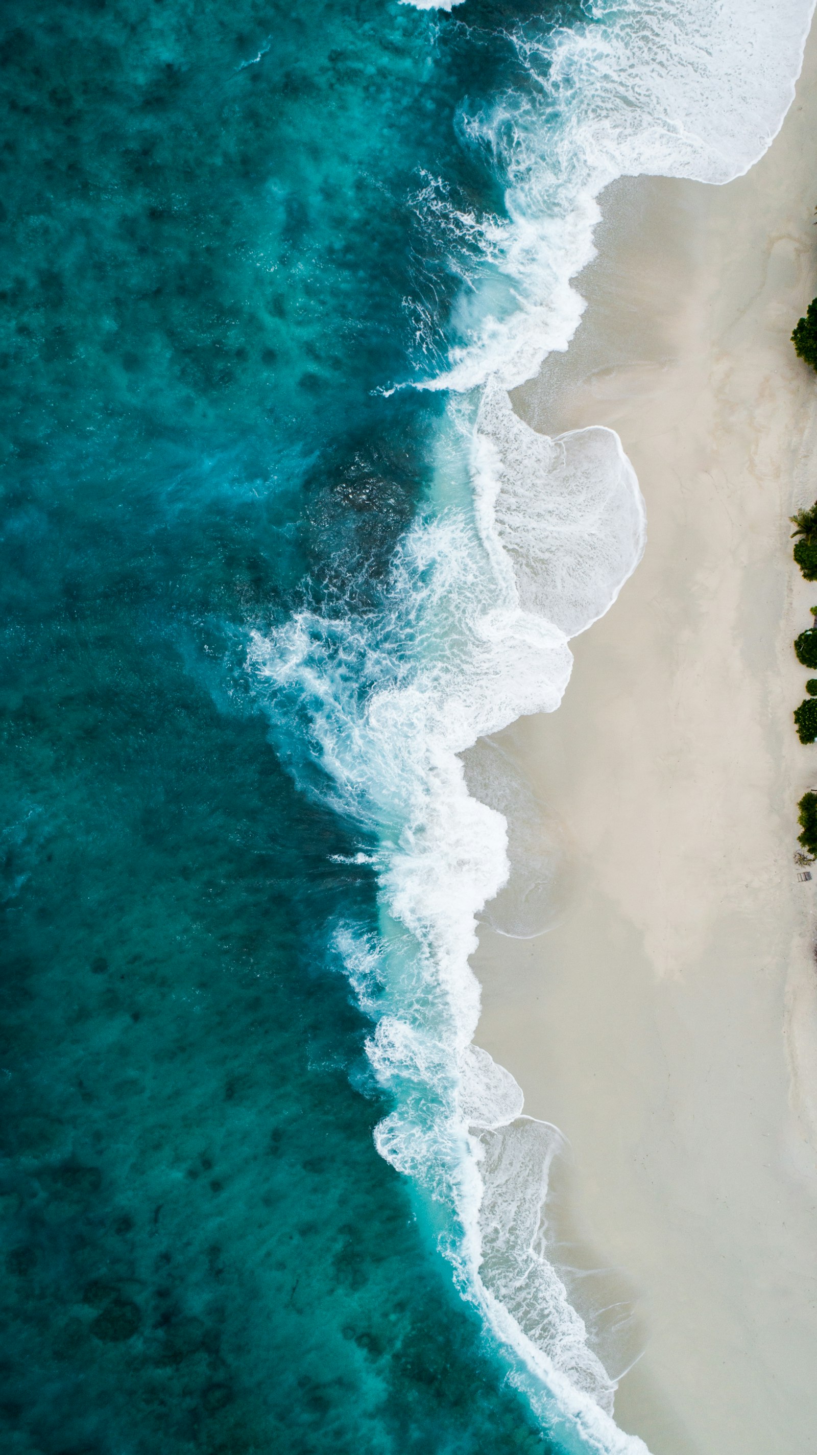
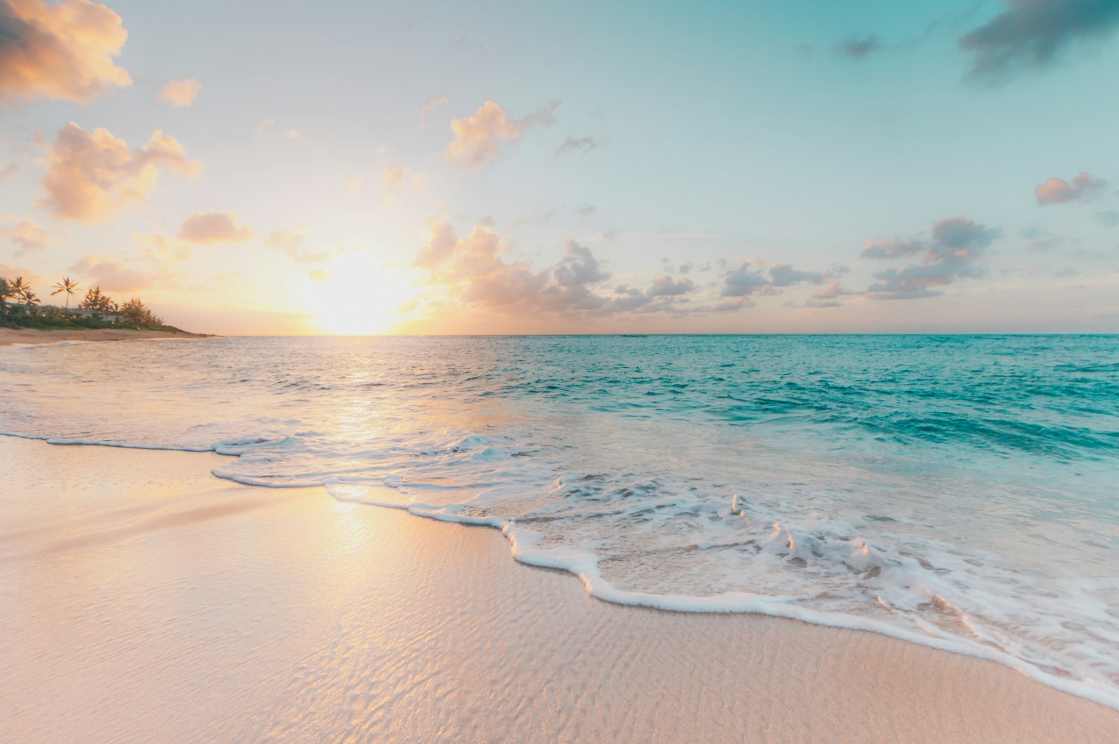
Representative Scenery
What Sea Paddling Looks Like
We don't have paddler photos of this route yet — these images show typical sea scenery in Ireland. Paddled here? Share your shots.
Conditions
What are the current paddling conditions at Carlingford Lough?
Weather
23°C
Clear Sky
Wind
17 km/h
E · Gentle Breeze
UV Index
5.3
Moderate
Location
54.04°N
6.18°W
Live conditions from Open-Meteo · updated just now · Always check Met Éireann before paddling.
Stay Safe
How do I stay safe paddling Carlingford Lough?
1
Plan Around the Tides
Irish coastal tides run on a roughly 6-hour cycle with tidal streams that can exceed your paddling speed. Check local tide tables, time your launch with the flood or ebb in your favour, and never fight a strong tidal race.
2
Carry a VHF Radio
A DSC-equipped VHF is the most reliable way to reach the Coast Guard if you get into trouble offshore. A phone is a backup, not a primary. File a Safetrx plan on the Irish Coast Guard app before every trip.
3
Respect Offshore Wind
Offshore winds can push paddlers out to sea faster than they can return. Avoid offshore conditions above Force 3 (12 km/h), and turn back early if wind is building against tide — the chop can escalate rapidly.
Discussion
Paddler Comments
Community
Share Your Experience
Paddled Carlingford Lough? Share your trip report with the community.
Write Trip Report
No comments yet on this route.
Be the first to share your experience — conditions, access, hazards, or anything a future paddler should know.
Log in to comment or create an account.