About This Route
What is kayaking Connemara Coast like?
An epic journey along the wild Connemara coastline from bohemian Roundstone to the capital of Connemara, Clifden. Navigate through the labyrinth of islands, skerries, and channels that make this coast so dramatic. The Twelve Bens mountains provide a stunning inland backdrop, while common and grey seals watch from every rock.
How do I paddle Connemara Coast? Put-in, take-out and logistics
This 18 km point-to-point route along the south Connemara coast is one of the great sea kayaking journeys in Ireland, but the distance, exposure, and complexity of the coastline place it firmly in the advanced category. Launch from Roundstone Harbour, a small fishing village built on the granite slopes of Errisbeg (300 m), which dominates the skyline behind you as you head north-west. The coast between Roundstone and Clifden is a labyrinth of islands, skerries, submerged rocks, and narrow channels — Ordnance Survey mapping and a compass or GPS are essential, because the low-lying islands can look identical from water level.
When is the best time to paddle Connemara Coast?
The route passes Inishnee, a tidal island connected to the mainland by a bridge, and then enters the maze of the Ard Bay and Mannin Bay coastline. Seals are abundant — both common and grey species — and you will see them on almost every rocky islet. The Twelve Bens mountain range provides a spectacular inland backdrop to the north, and in clear conditions the peaks of Benbaun (729 m), Bencorr, and Derryclare are sharply defined against the sky. The final approach to Clifden Bay passes through a narrow channel between Omey-like islands before opening into the broader inner bay. A shuttle vehicle at Clifden is necessary — the road distance back to Roundstone is about 25 km via the R341. Allow a full day for this route, and only attempt it with a favourable weather window: south-westerly winds above Force 4, combined with the Atlantic swell that wraps around the headlands, can make the exposed sections between island clusters genuinely dangerous. Carrying a VHF radio and filing a float plan are strongly advised.
Route Details
Put-in Point
Roundstone Harbour
Take-out Point
Clifden Bay
Best Season
June - August
Water Type
Sea
Parking
Yes, Roundstone harbour
Facilities
Full facilities in both towns
View on Map
Navigate
Where is Connemara Coast on the map?
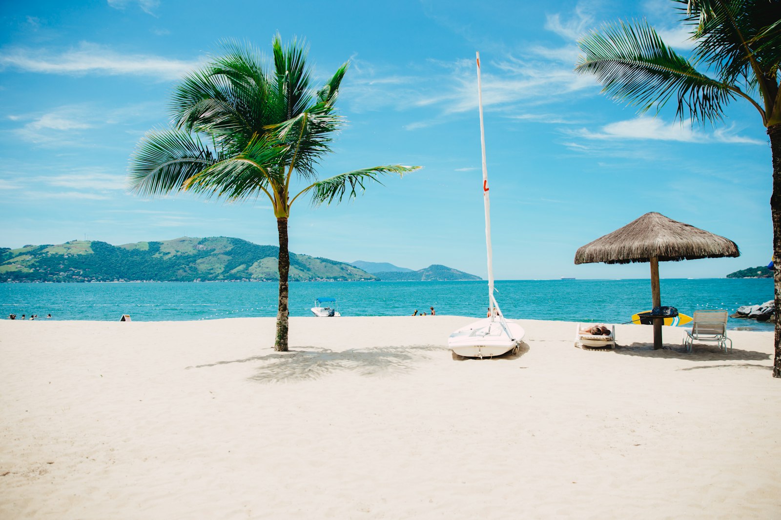
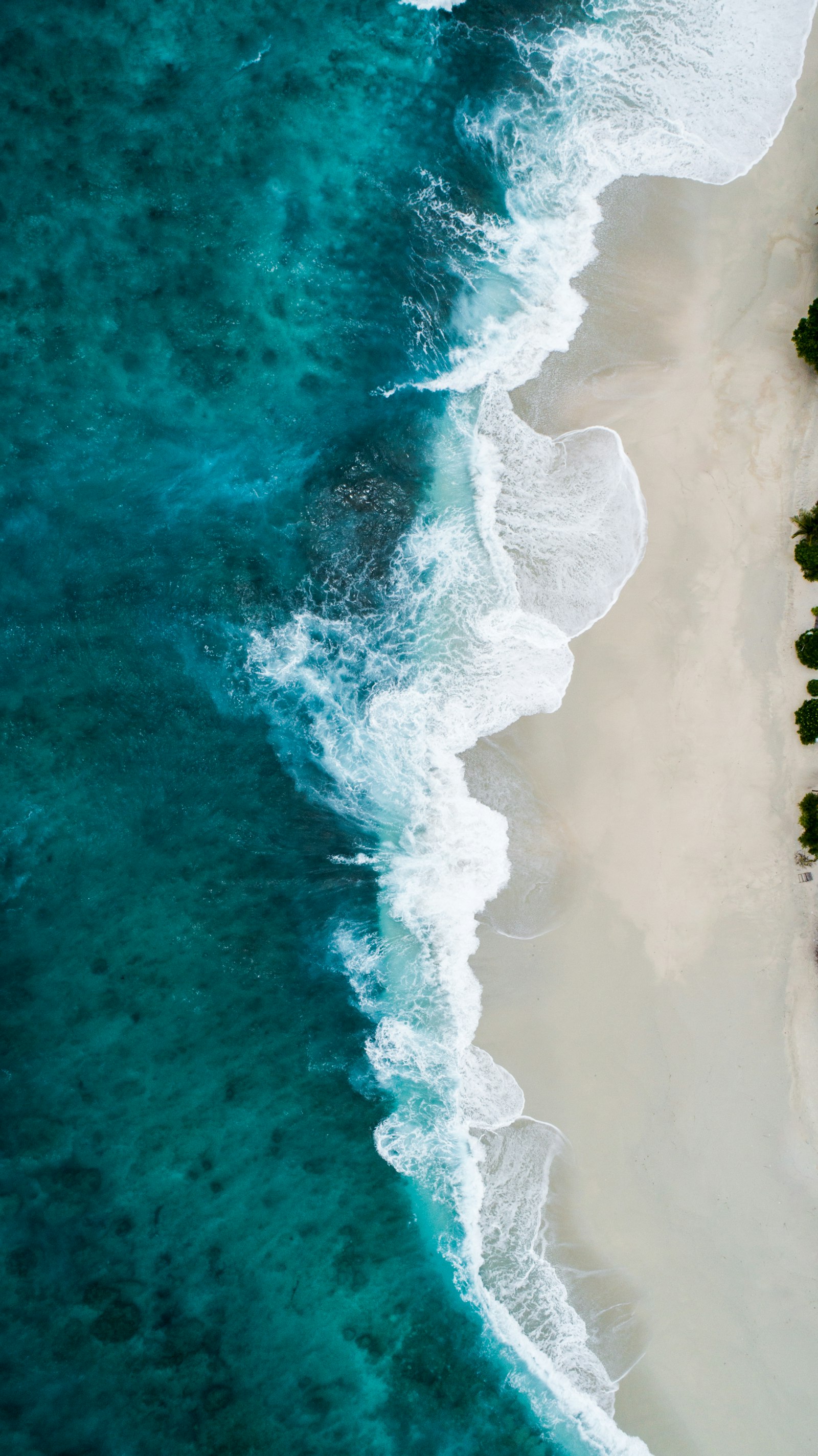
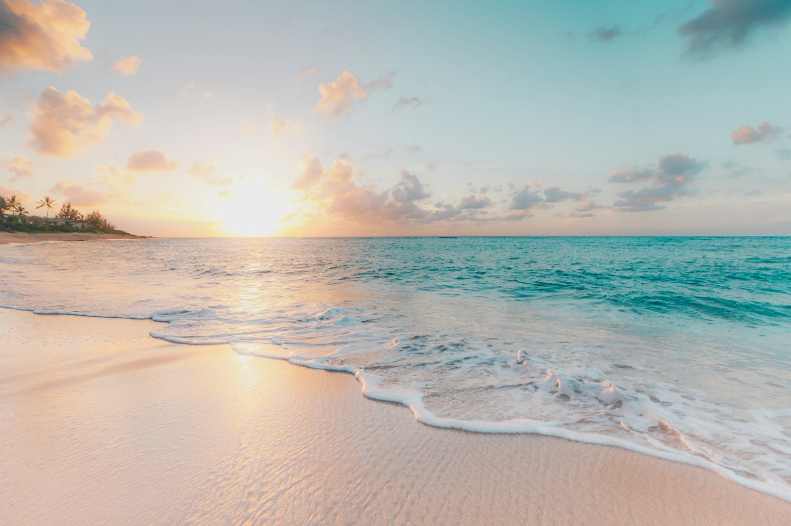
Representative Scenery
What Sea Paddling Looks Like
We don't have paddler photos of this route yet — these images show typical sea scenery in Ireland. Paddled here? Share your shots.
Conditions
What are the current paddling conditions at Connemara Coast?
Weather
18°C
Overcast
Wind
8 km/h
NE · Light Breeze
UV Index
0
Low
Location
53.35°N
10.15°W
Live conditions from Open-Meteo · updated just now · Always check Met Éireann before paddling.
Stay Safe
How do I stay safe paddling Connemara Coast?
1
Plan Around the Tides
Irish coastal tides run on a roughly 6-hour cycle with tidal streams that can exceed your paddling speed. Check local tide tables, time your launch with the flood or ebb in your favour, and never fight a strong tidal race.
2
Carry a VHF Radio
A DSC-equipped VHF is the most reliable way to reach the Coast Guard if you get into trouble offshore. A phone is a backup, not a primary. File a Safetrx plan on the Irish Coast Guard app before every trip.
3
Respect Offshore Wind
Offshore winds can push paddlers out to sea faster than they can return. Avoid offshore conditions above Force 3 (12 km/h), and turn back early if wind is building against tide — the chop can escalate rapidly.
Discussion
Paddler Comments
Community
Share Your Experience
Paddled Connemara Coast? Share your trip report with the community.
Write Trip Report
No comments yet on this route.
Be the first to share your experience — conditions, access, hazards, or anything a future paddler should know.
Log in to comment or create an account.