About This Route
What is kayaking Galway Bay like?
Paddle east from Galway's famous Salthill promenade along the sheltered inner bay towards Oranmore. The Clare hills and Burren limestone shimmer across the water, while the Aran Islands guard the bay's mouth to the west. Seals haul out on Mutton Island, and the shallow intertidal zones attract flocks of wintering waders.
How do I paddle Galway Bay? Put-in, take-out and logistics
The inner reaches of Galway Bay between Salthill and Oranmore are considerably more sheltered than the open bay to the west, making this a manageable sea paddle for intermediate kayakers. Launch from the slipway at Blackrock diving tower on the Salthill promenade — the tower itself is a local landmark where swimmers brave the Atlantic year-round. Head east along the coast, passing the Claddagh basin and the mouth of the Corrib River, which can produce a noticeable current on an ebbing tide. Mutton Island, connected to the mainland by a submerged causeway, sits about 1 km offshore and is home to a grey seal colony that hauls out on the rocky southern shore.
When is the best time to paddle Galway Bay?
The route follows the north shore of the bay through Ballyloughane and past Renmore, where the water shallows significantly at low tide — checking tide times before departure is essential, as extensive mud flats are exposed on springs and progress becomes impossible. Oranmore Bay at the eastern end is a designated Special Area of Conservation for its intertidal habitats, and the birdlife is outstanding: wintering flocks of Brent geese, curlew, redshank, and bar-tailed godwit feed on the mud flats from October to March. Rinville Park at the take-out has parking, toilets, and a wooded shoreline path. The Burren hills across the bay on the Clare side and the distant outline of the Aran Islands to the west provide a constantly changing backdrop. This is a point-to-point route requiring a shuttle — the 10 km drive between Salthill and Rinville takes about 20 minutes via the coast road.
Route Details
Put-in Point
Salthill Promenade
Take-out Point
Rinville Park, Oranmore
Best Season
May - September
Water Type
Sea
Parking
Yes, Salthill seafront
Facilities
Full facilities at Salthill
View on Map
Navigate
Where is Galway Bay on the map?
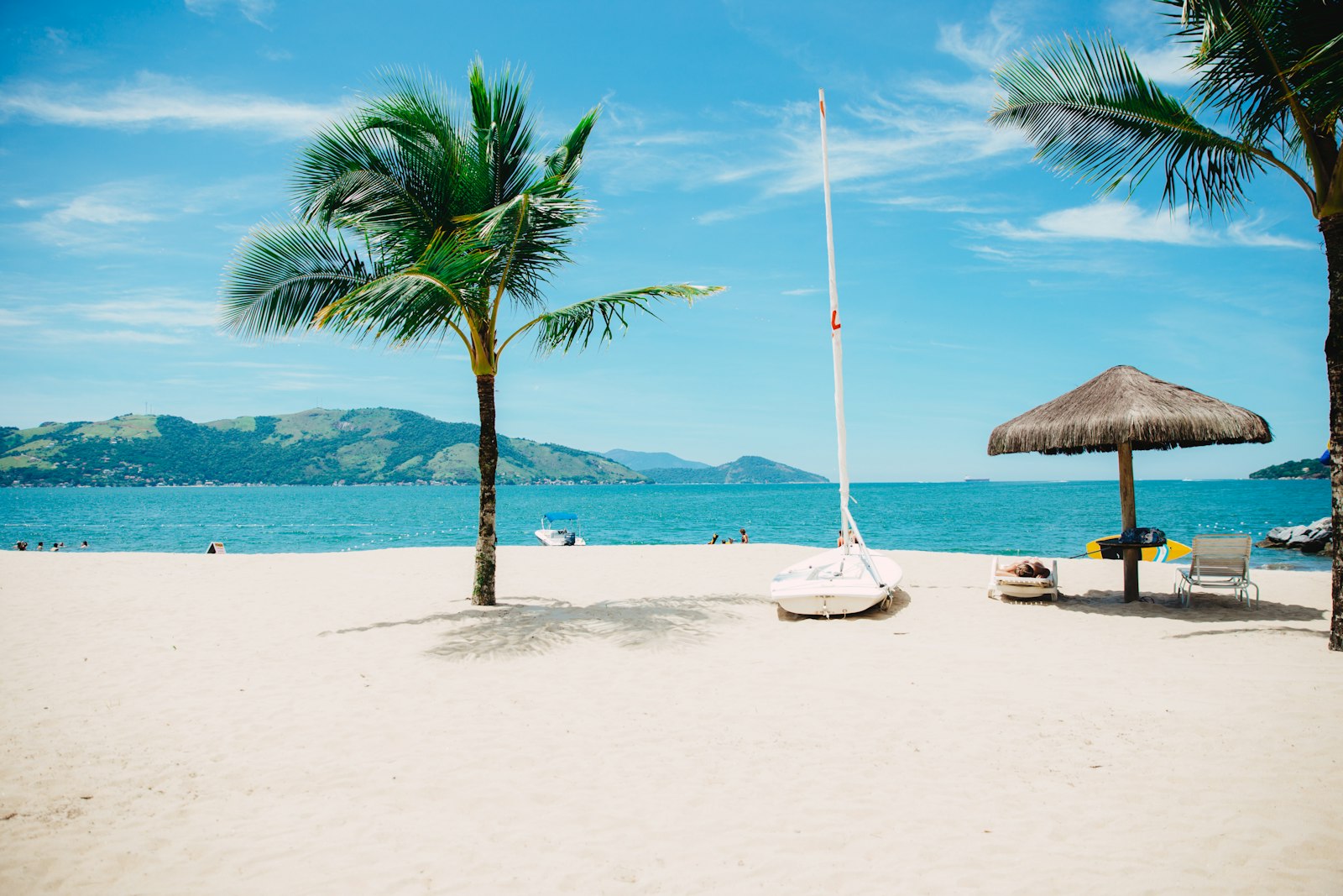
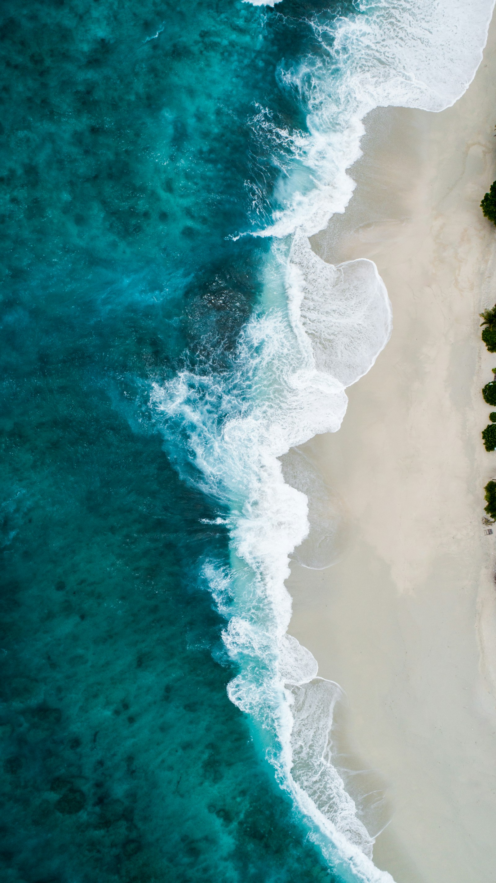
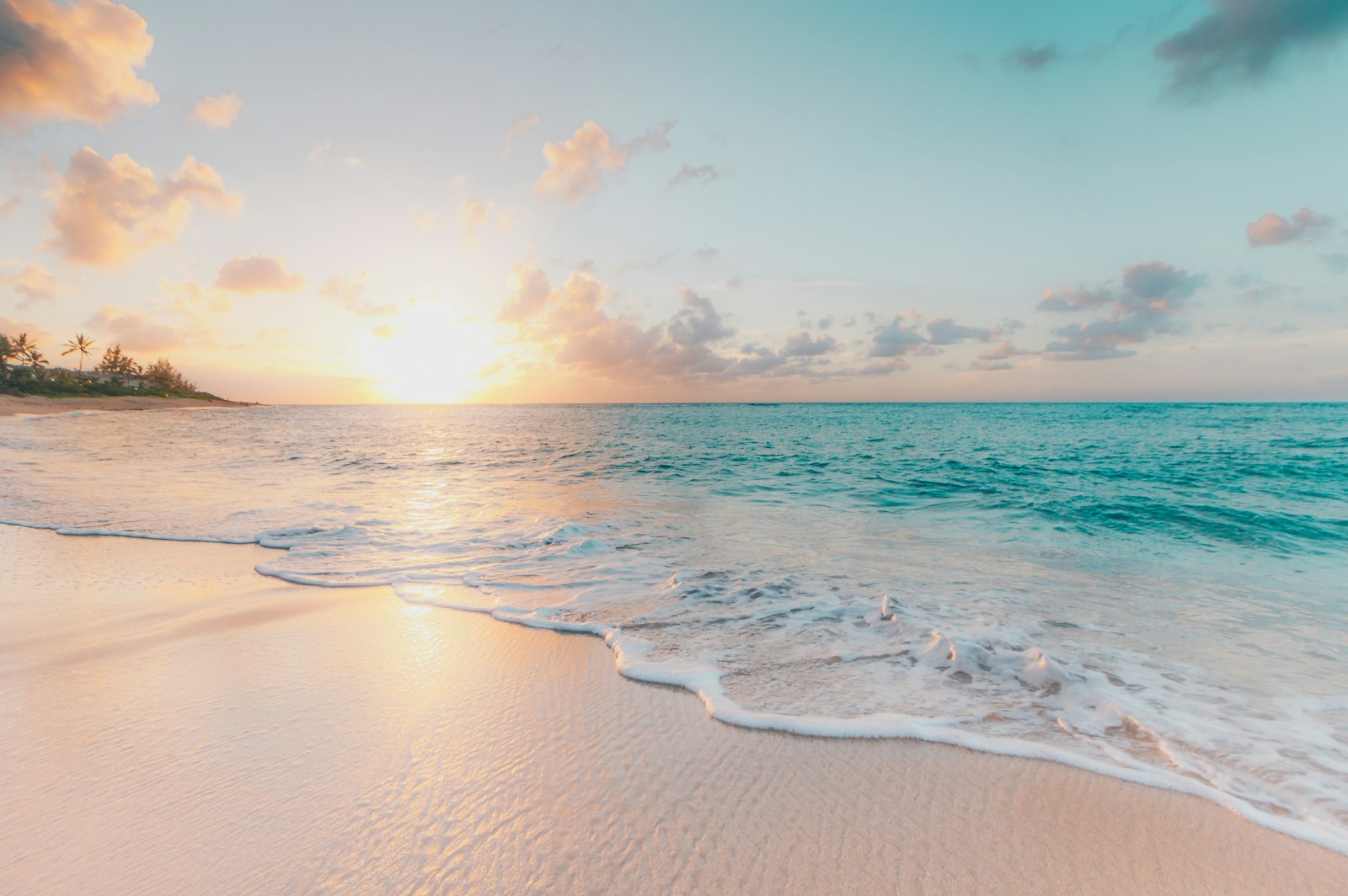
Representative Scenery
What Sea Paddling Looks Like
We don't have paddler photos of this route yet — these images show typical sea scenery in Ireland. Paddled here? Share your shots.
Conditions
What are the current paddling conditions at Galway Bay?
Weather
30°C
Clear Sky
Wind
9 km/h
SE · Light Breeze
UV Index
5.5
Moderate
Location
53.25°N
9.05°W
Live conditions from Open-Meteo · updated just now · Always check Met Éireann before paddling.
Stay Safe
How do I stay safe paddling Galway Bay?
1
Plan Around the Tides
Irish coastal tides run on a roughly 6-hour cycle with tidal streams that can exceed your paddling speed. Check local tide tables, time your launch with the flood or ebb in your favour, and never fight a strong tidal race.
2
Carry a VHF Radio
A DSC-equipped VHF is the most reliable way to reach the Coast Guard if you get into trouble offshore. A phone is a backup, not a primary. File a Safetrx plan on the Irish Coast Guard app before every trip.
3
Respect Offshore Wind
Offshore winds can push paddlers out to sea faster than they can return. Avoid offshore conditions above Force 3 (12 km/h), and turn back early if wind is building against tide — the chop can escalate rapidly.
Discussion
Paddler Comments
Community
Share Your Experience
Paddled Galway Bay? Share your trip report with the community.
Write Trip Report
No comments yet on this route.
Be the first to share your experience — conditions, access, hazards, or anything a future paddler should know.
Log in to comment or create an account.