About This Route
What is kayaking Achill Island like?
A spectacular but exposed coastal paddle along Achill's dramatic south coast. Launch from the pristine horseshoe beach at Keem Bay beneath Croaghaun, Europe's highest sea cliffs. Paddle east past Moyteoge Head with its basking shark lookout point, watching for the sharks themselves in the plankton-rich waters below. Only for experienced sea kayakers in settled conditions.
How do I paddle Achill Island? Put-in, take-out and logistics
Keem Bay is a horseshoe-shaped beach at the western tip of Achill Island, accessible via a steep single-track road that descends from the cliffs above. The car park at the beach is the only facility — there are no toilets, no shop, and no phone signal in the bay itself. Croaghaun, at 688 metres the third-highest sea cliff in Europe, rises directly behind the beach, and the scale of the landscape is immediately apparent. Launch from the sand and head east, staying close to the base of the cliffs where the water is deepest and the swell refracts most predictably.
When is the best time to paddle Achill Island?
Moyteoge Head, roughly 2 km east of Keem, is where Achill's basking shark lookout is located on the clifftop above — from water level you may see the dorsal fins of these enormous but harmless plankton feeders cutting through the surface between May and August, when they congregate in the plankton-rich waters off the south coast. The coast between Keem and Dooega is entirely exposed to south-westerly swell, and there are no safe landing points for the full 8 km except at Dooega itself, which has a small stone pier. This is genuinely advanced sea kayaking: a solid surf landing and launch capability, self-rescue skills, and the ability to read swell and tide are non-negotiable. Only paddle this route in settled conditions with light winds and a swell height below 1.5 metres. The reward is some of the most dramatic coastal scenery in Ireland — sheer quartzite cliffs, sea caves, blowhole spray, and the raw power of the Atlantic breaking against the oldest rocks in Mayo.
Route Details
Put-in Point
Keem Bay
Take-out Point
Dooega Pier
Best Season
June - August
Water Type
Sea
Parking
Yes, Keem Bay car park
Facilities
Limited, Keel village 5km
View on Map
Navigate
Where is Achill Island on the map?
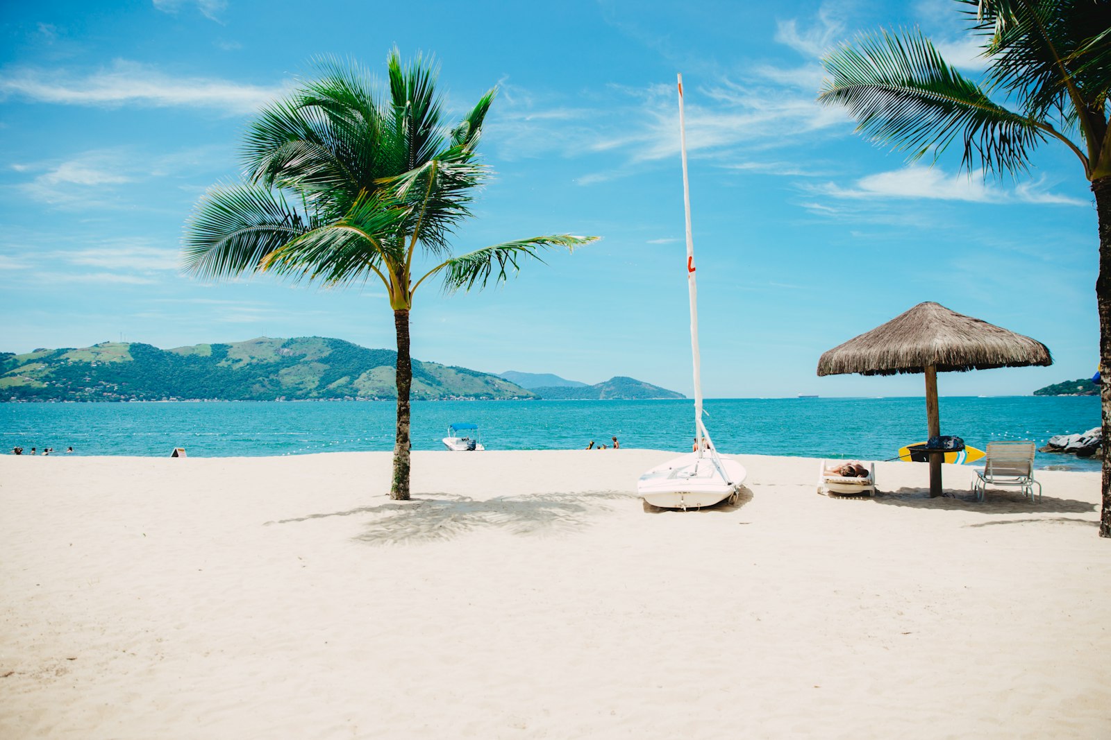
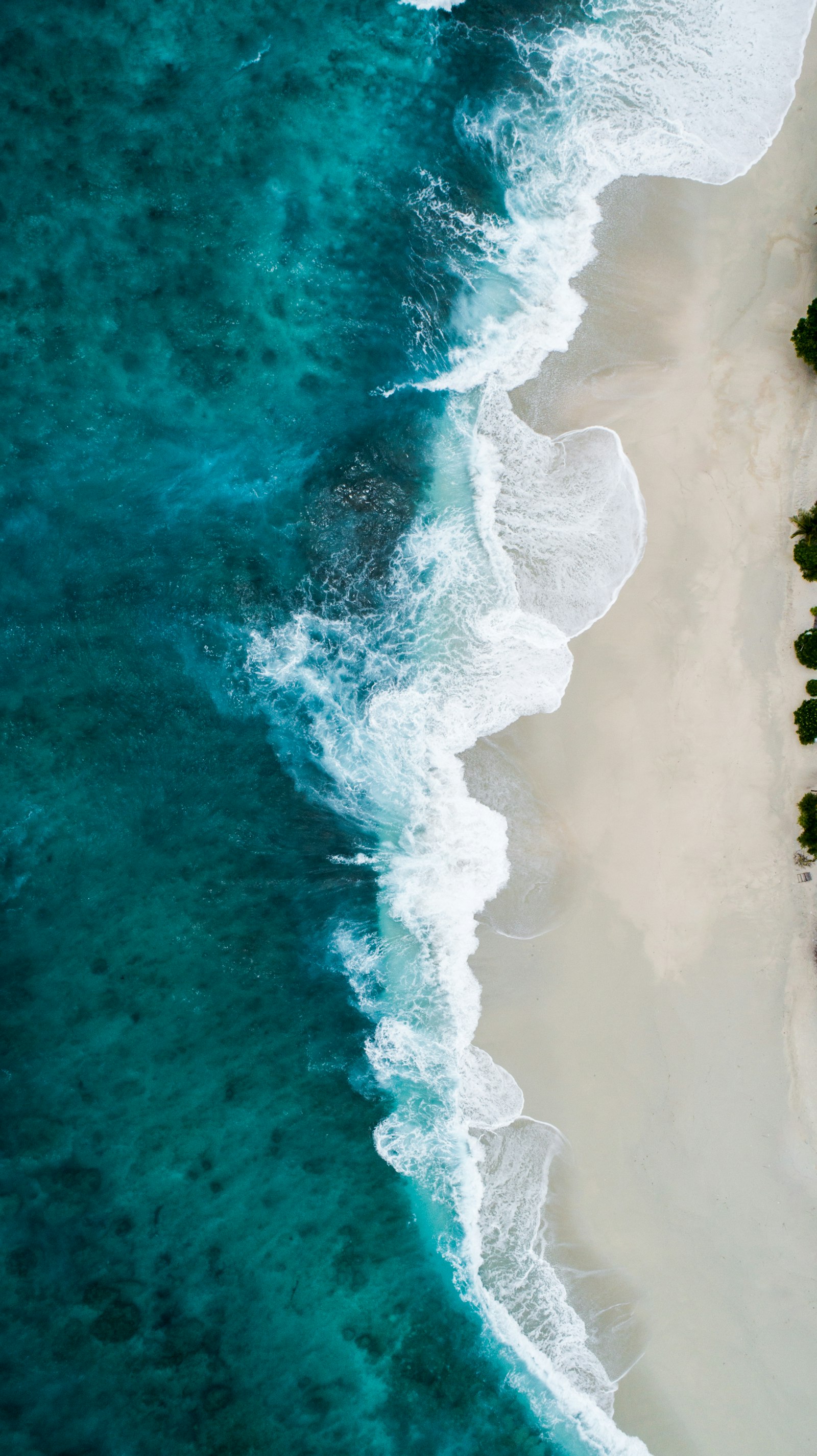
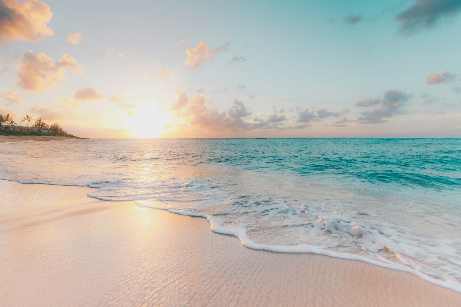
Representative Scenery
What Sea Paddling Looks Like
We don't have paddler photos of this route yet — these images show typical sea scenery in Ireland. Paddled here? Share your shots.
Conditions
What are the current paddling conditions at Achill Island?
Weather
25°C
Clear Sky
Wind
14 km/h
E · Gentle Breeze
UV Index
5.5
Moderate
Location
53.98°N
10.05°W
Live conditions from Open-Meteo · updated just now · Always check Met Éireann before paddling.
Stay Safe
How do I stay safe paddling Achill Island?
1
Plan Around the Tides
Irish coastal tides run on a roughly 6-hour cycle with tidal streams that can exceed your paddling speed. Check local tide tables, time your launch with the flood or ebb in your favour, and never fight a strong tidal race.
2
Carry a VHF Radio
A DSC-equipped VHF is the most reliable way to reach the Coast Guard if you get into trouble offshore. A phone is a backup, not a primary. File a Safetrx plan on the Irish Coast Guard app before every trip.
3
Respect Offshore Wind
Offshore winds can push paddlers out to sea faster than they can return. Avoid offshore conditions above Force 3 (12 km/h), and turn back early if wind is building against tide — the chop can escalate rapidly.
Discussion
Paddler Comments
Community
Share Your Experience
Paddled Achill Island? Share your trip report with the community.
Write Trip Report
No comments yet on this route.
Be the first to share your experience — conditions, access, hazards, or anything a future paddler should know.
Log in to comment or create an account.