About This Route
What is kayaking Kenmare Bay like?
Paddle from the colourful town of Kenmare into the sheltered inner bay where the Roughty and Sheen rivers meet the sea. The Caha and Slieve Miskish Mountains frame the scene, and the bay's many inlets harbour grey seals and occasional visiting dolphins. The warm microclimate supports Mediterranean plants on the sheltered shoreline.
How do I paddle Kenmare Bay? Put-in, take-out and logistics
Kenmare Bay (technically the Kenmare River, though it is a sea inlet rather than a true river) runs roughly 50 km from Kenmare town to the open Atlantic between the Iveragh and Beara peninsulas. The inner bay east of Kenmare town is the sheltered section suitable for intermediate paddlers, and the pier on the south side of town provides a straightforward launch with parking nearby. The Roughty and Sheen rivers enter the bay here, and the mixing of fresh and salt water creates rich feeding grounds — grey seals are virtually guaranteed, and bottlenose dolphins from the Kerry population visit regularly in summer.
When is the best time to paddle Kenmare Bay?
Paddle west from the pier along the southern shore, passing Reen Point and a series of small rocky coves backed by mature oak woodland. The microclimate in Kenmare Bay is famously mild — the combination of Gulf Stream influence and mountain shelter supports strawberry trees (Arbutus unedo), Mediterranean heathers, and even wild fuchsia hedges right down to the waterline. Cappul Island, about 4 km west of the pier, makes a good turnaround point; the island has a small beach on its eastern side and is a haul-out site for seals. The return along the northern shore passes Dunkerron Island and gives views south towards the Caha Pass and Healy Pass on the Beara Peninsula. Tidal range in the inner bay is modest — around 3 metres — but the ebb can produce a noticeable current in the narrows west of town. Plan the outward leg against the ebb and the return with the flood for the most comfortable paddle.
Route Details
Put-in Point
Kenmare Pier
Take-out Point
Kenmare Pier (loop)
Best Season
May - September
Water Type
Sea
Parking
Yes, Kenmare town
Facilities
Full town facilities in Kenmare
View on Map
Navigate
Where is Kenmare Bay on the map?
Representative Scenery
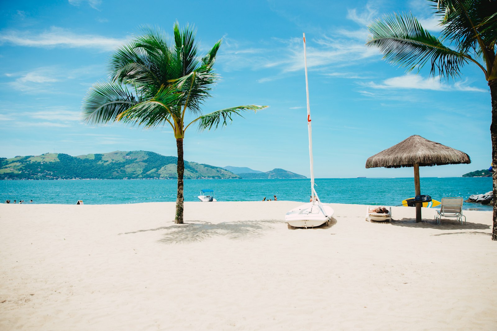
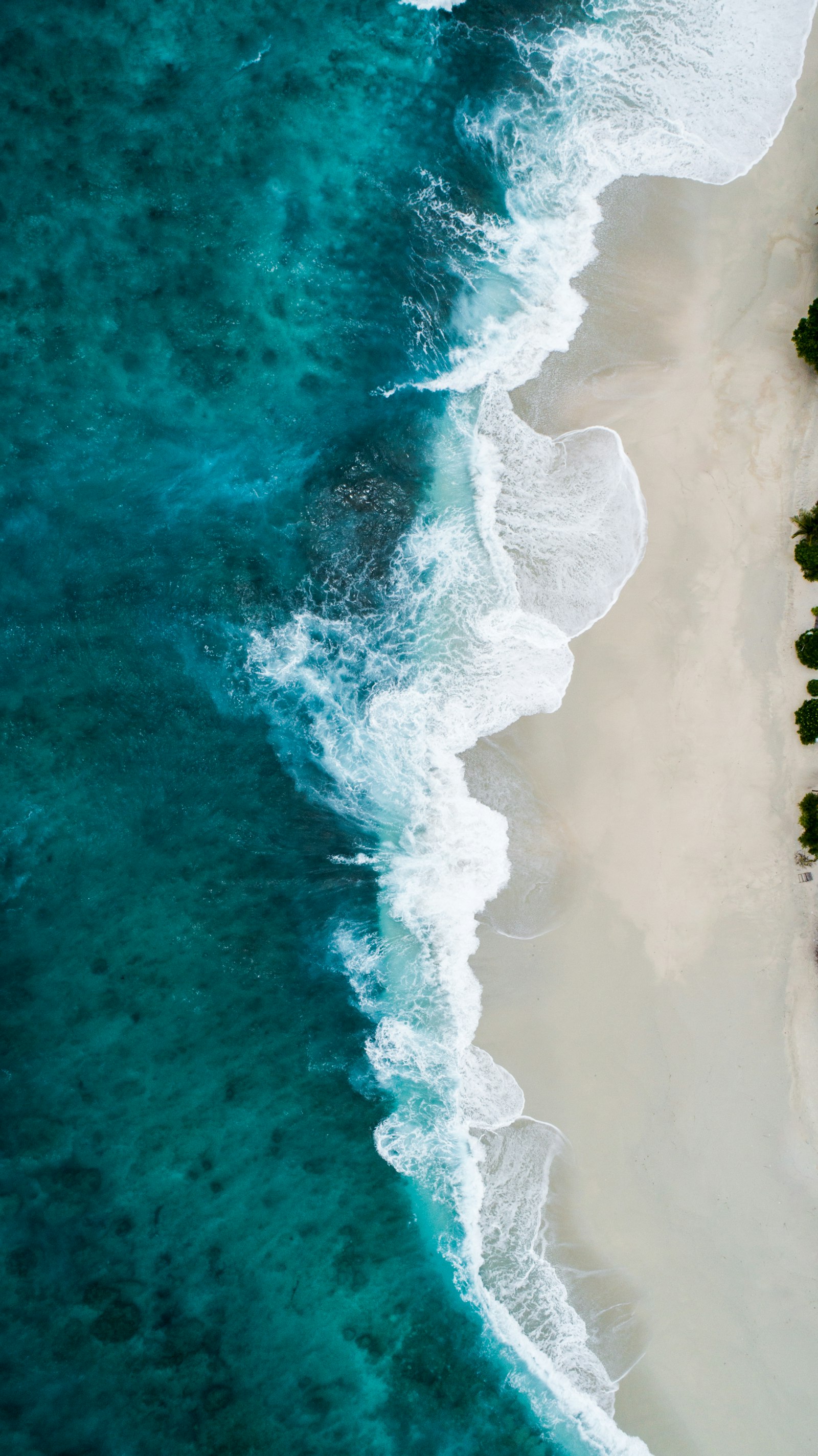
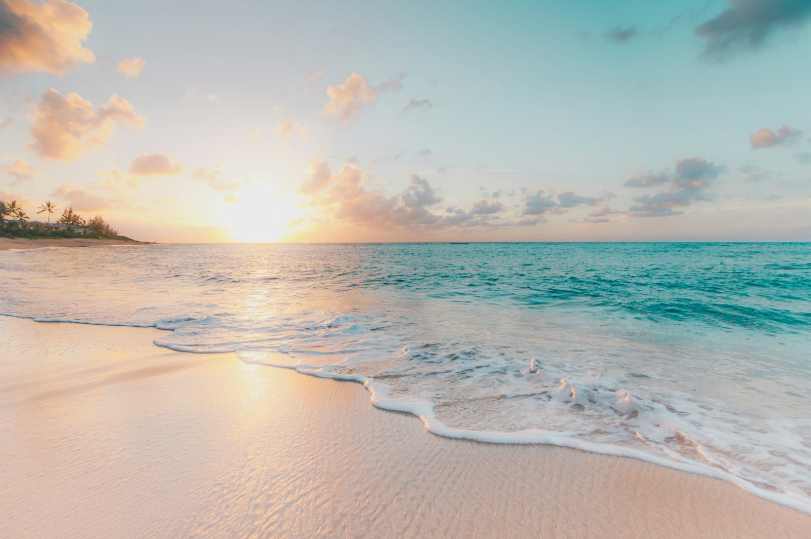
What Sea Paddling Looks Like
We don't have paddler photos of this route yet — these images show typical sea scenery in Ireland. Paddled here? Share your shots.
Conditions
What are the current paddling conditions at Kenmare Bay?
Weather
28°C
Clear Sky
Wind
15 km/h
E · Gentle Breeze
UV Index
5.9
Moderate
Location
51.88°N
9.90°W
Live conditions from Open-Meteo · updated just now · Always check Met Éireann before paddling.
Stay Safe
How do I stay safe paddling Kenmare Bay?
1
Plan Around the Tides
Irish coastal tides run on a roughly 6-hour cycle with tidal streams that can exceed your paddling speed. Check local tide tables, time your launch with the flood or ebb in your favour, and never fight a strong tidal race.
2
Carry a VHF Radio
A DSC-equipped VHF is the most reliable way to reach the Coast Guard if you get into trouble offshore. A phone is a backup, not a primary. File a Safetrx plan on the Irish Coast Guard app before every trip.
3
Respect Offshore Wind
Offshore winds can push paddlers out to sea faster than they can return. Avoid offshore conditions above Force 3 (12 km/h), and turn back early if wind is building against tide — the chop can escalate rapidly.
Discussion
Paddler Comments
Community
Share Your Experience
Paddled Kenmare Bay? Share your trip report with the community.
Write Trip Report
No comments yet on this route.
Be the first to share your experience — conditions, access, hazards, or anything a future paddler should know.
Log in to comment or create an account.