About This Route
What is kayaking Strangford Lough like?
Strangford Lough is a marine nature reserve and one of the most important wildlife sites in Europe. Paddle north from Portaferry through the island-dotted upper lough where Brent geese overwinter in vast flocks. The pladdies (small drumlin islands) host common and grey seals, and the lough floor supports spectacular horse mussel reefs.
How do I paddle Strangford Lough? Put-in, take-out and logistics
Strangford Lough is the largest sea lough in the British Isles, covering roughly 150 square kilometres, and is designated as both a Marine Nature Reserve and a Special Area of Conservation. The Narrows at the lough's mouth between Portaferry and Strangford village produce tidal currents of up to 8 knots on spring tides — one of the fastest tidal races in Europe — so launching from Portaferry Waterfront requires careful attention to tide times. Head north into the lough on a flooding tide, and the current will assist your progress into the upper reaches where the pladdies (small drumlin islands) begin.
When is the best time to paddle Strangford Lough?
The pladdies are the paddling attraction here: dozens of low, grassy islands scattered across the lough, many barely above high water, creating sheltered channels and bays perfect for exploration. Common seals haul out on the stony shorelines, and the lough is internationally important for overwintering light-bellied Brent geese that arrive from Arctic Canada each October — flocks of several thousand birds feeding on eelgrass beds are a common sight from November to March. The lough floor supports the largest horse mussel reef in the UK, visible in the clear water at the northern end. Nendrum Monastery, on Mahee Island in the north-western corner, dates to the 5th century and is accessible by road but impressive from the water. For the return journey, time departure to ride the ebb south towards Portaferry. The 10 km loop is manageable in 3-4 hours, but understanding the tidal cycle is absolutely critical — being caught in the Narrows against the current would be extremely dangerous.
Route Details
Put-in Point
Portaferry Waterfront
Take-out Point
Portaferry Waterfront (loop)
Best Season
May - September
Water Type
Sea
Parking
Yes, Portaferry village
Facilities
Exploris Aquarium, pubs, shops
View on Map
Navigate
Where is Strangford Lough on the map?
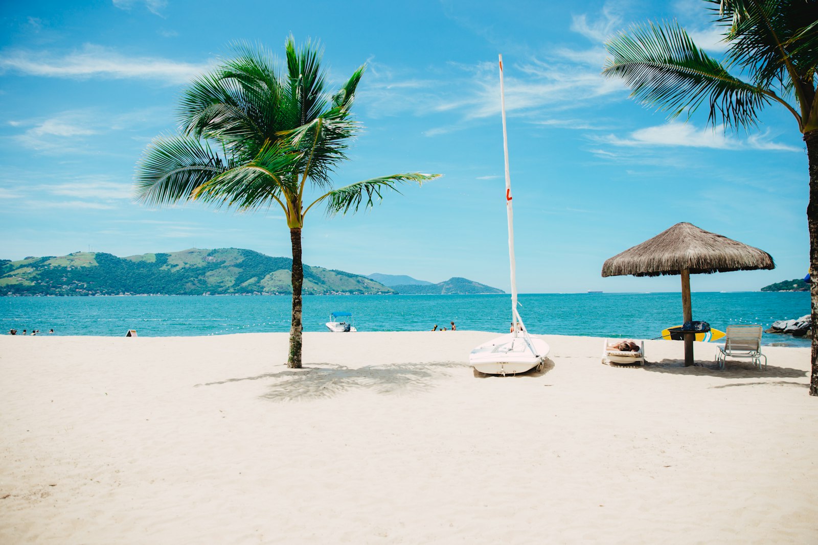
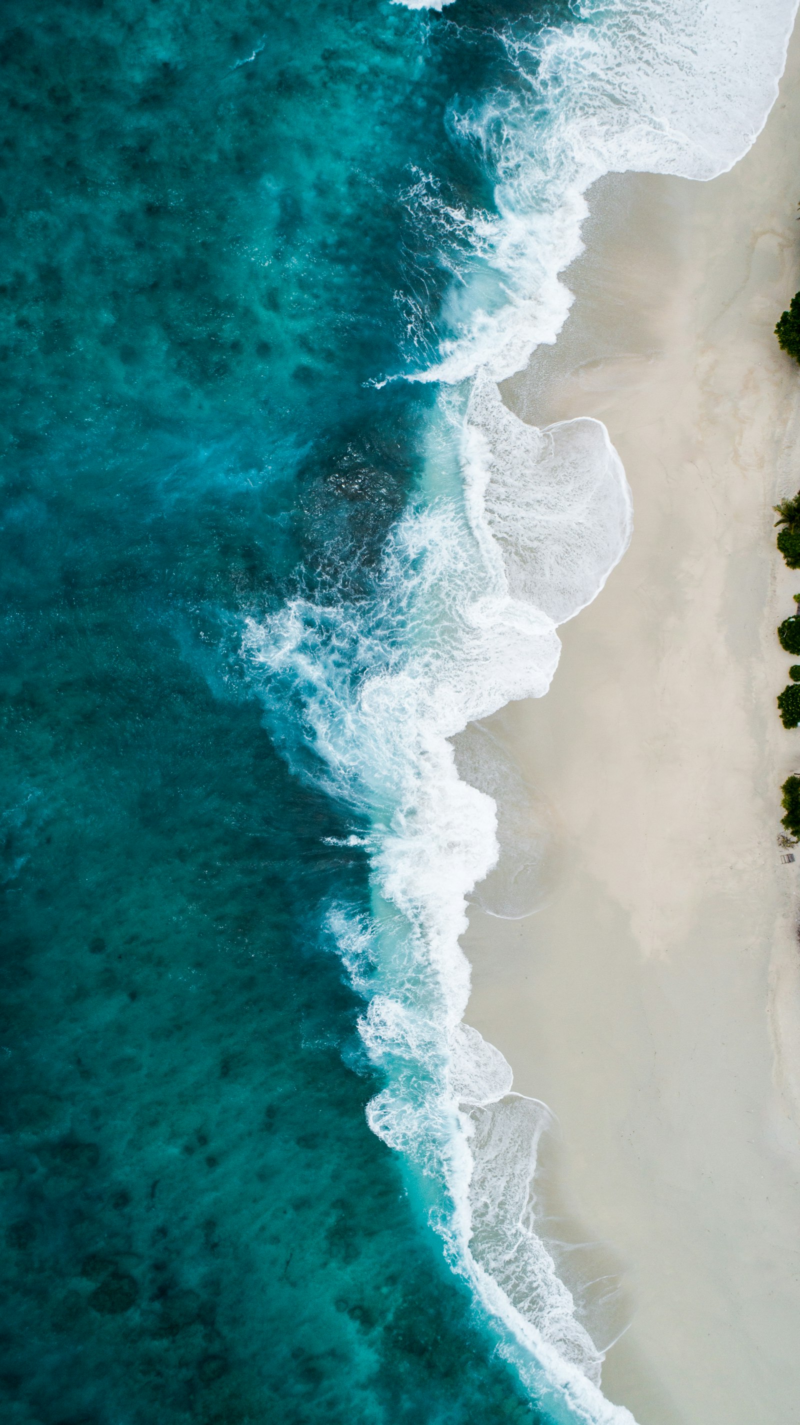
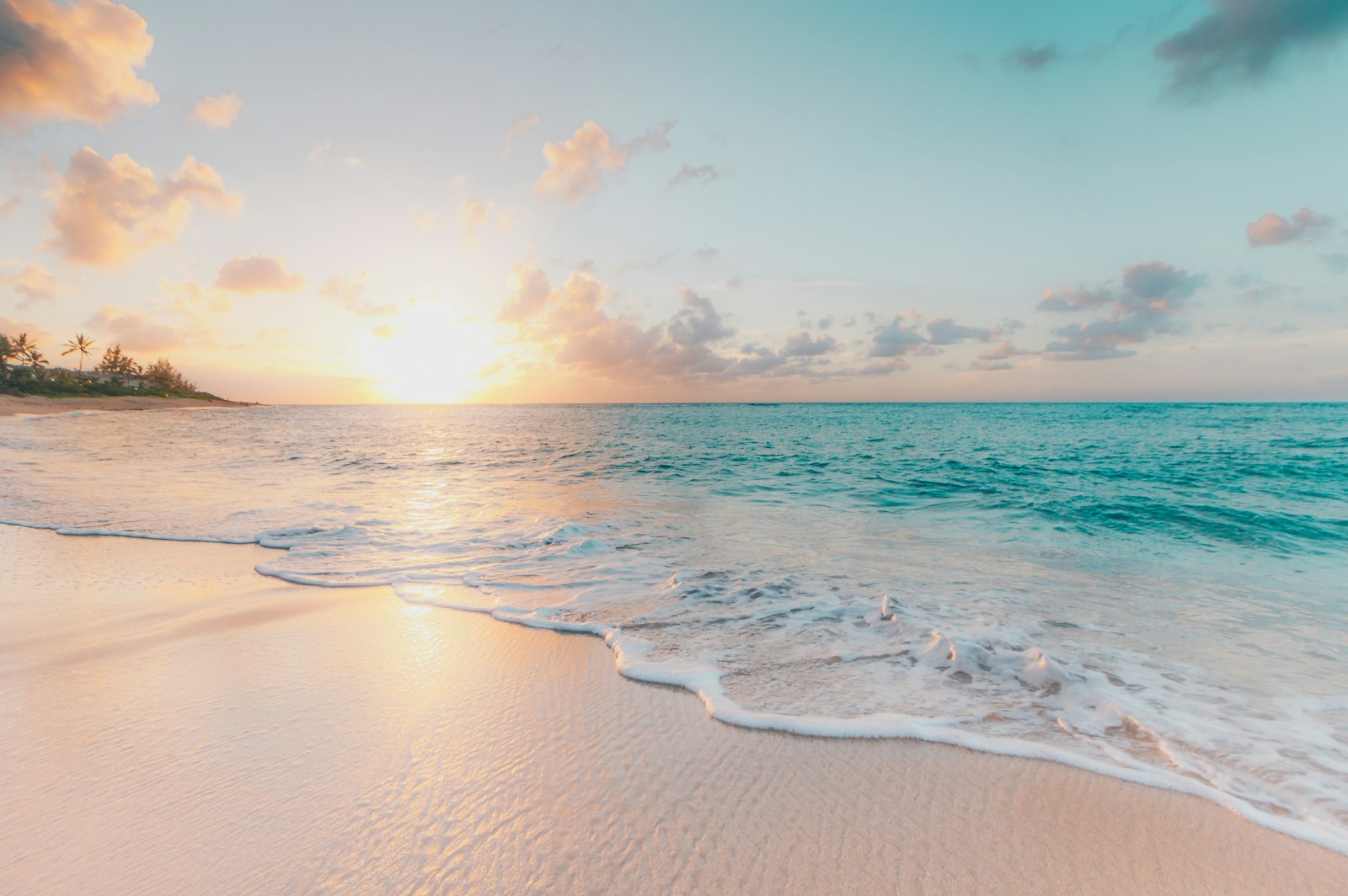
Representative Scenery
What Sea Paddling Looks Like
We don't have paddler photos of this route yet — these images show typical sea scenery in Ireland. Paddled here? Share your shots.
Conditions
What are the current paddling conditions at Strangford Lough?
Weather
23°C
Mainly Clear
Wind
13 km/h
NE · Gentle Breeze
UV Index
5.1
Moderate
Location
54.45°N
5.60°W
Live conditions from Open-Meteo · updated just now · Always check Met Éireann before paddling.
Stay Safe
How do I stay safe paddling Strangford Lough?
1
Plan Around the Tides
Irish coastal tides run on a roughly 6-hour cycle with tidal streams that can exceed your paddling speed. Check local tide tables, time your launch with the flood or ebb in your favour, and never fight a strong tidal race.
2
Carry a VHF Radio
A DSC-equipped VHF is the most reliable way to reach the Coast Guard if you get into trouble offshore. A phone is a backup, not a primary. File a Safetrx plan on the Irish Coast Guard app before every trip.
3
Respect Offshore Wind
Offshore winds can push paddlers out to sea faster than they can return. Avoid offshore conditions above Force 3 (12 km/h), and turn back early if wind is building against tide — the chop can escalate rapidly.
Discussion
Paddler Comments
Community
Share Your Experience
Paddled Strangford Lough? Share your trip report with the community.
Write Trip Report
No comments yet on this route.
Be the first to share your experience — conditions, access, hazards, or anything a future paddler should know.
Log in to comment or create an account.