About This Route
What is kayaking Waterford Estuary like?
Paddle downstream from Ireland's oldest city through the widening Suir Estuary towards the sea. Pass beneath the modern cable-stay bridge and historic Adelphi Quay, then through a landscape of rolling farmland and wooded hillsides. The estuary narrows dramatically at the strategically important Passage East, where a car ferry still crosses.
How do I paddle Waterford Estuary? Put-in, take-out and logistics
Waterford city sits at the tidal limit of the River Suir, and the quays along the south bank have been a centre of maritime trade since the Vikings founded the city in 914 AD. Launch from the public slipway on the north quays, downstream of Rice Bridge — the area is busy with traffic and pedestrians, so loading and unloading needs to be efficient. The first kilometre passes through the city centre: the modern cable-stay bridge, the 18th-century Adelphi Quay warehouses, and Reginald's Tower (the oldest civic building in Ireland, dating to around 1003) are all visible from the water.
When is the best time to paddle Waterford Estuary?
Once clear of the city the Suir widens into a proper estuary, and the landscape shifts to rolling farmland on both banks with mature deciduous woodland running down to the high-water mark. This is a tidal paddle — the ebb current downstream is your friend, and timing departure for the first hour of the ebb gives roughly 4-5 hours of assistance to Passage East. The village of Cheekpoint, about 8 km downstream, sits at the confluence of the Suir and Barrow and marks the point where the estuary opens significantly. Passage East, 4 km further on, is where the estuary narrows to barely 500 metres between high sandstone bluffs — the car ferry crosses here, and you must watch for ferry movements and stay well clear. The take-out at Passage East pier is on the Waterford (south) side. Tidal range in the estuary is 3-4 metres on springs, and the ebb current through the Passage East narrows can reach 3 knots, so paddling this route against the tide would be a considerable undertaking. Planning around the tide is essential.
Route Details
Put-in Point
Waterford Quays
Take-out Point
Passage East Pier
Best Season
May - September
Water Type
Canal
Parking
Yes, Waterford city quays
Facilities
Full city facilities in Waterford
View on Map
Navigate
Where is Waterford Estuary on the map?
Representative Scenery
What Canal Paddling Looks Like
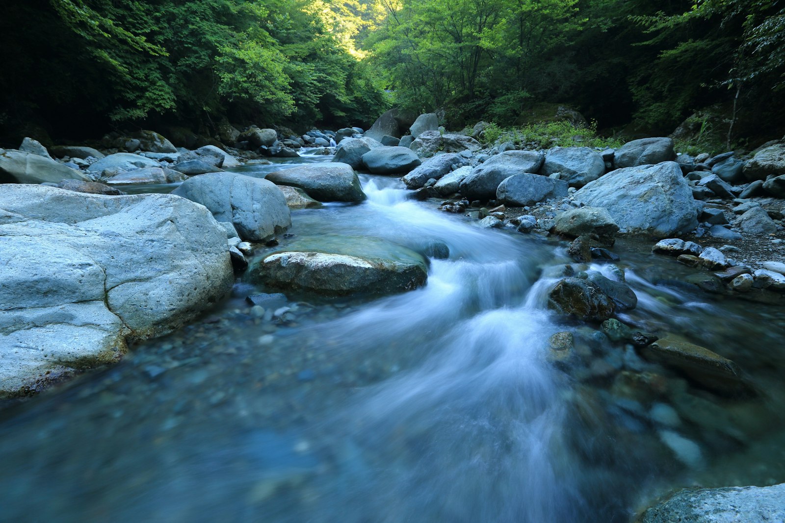
We don't have paddler photos of this route yet — these images show typical canal scenery in Ireland. Paddled here? Share your shots.


Conditions
What are the current paddling conditions at Waterford Estuary?
Weather
29°C
Clear Sky
Wind
19 km/h
SE · Gentle Breeze
UV Index
5.5
Moderate
Location
52.27°N
7.08°W
Live conditions from Open-Meteo · updated just now · Always check Met Éireann before paddling.
Stay Safe
How do I stay safe paddling Waterford Estuary?
1
Approach Locks With Care
Waterways Ireland locks cycle on a schedule but gates can open unexpectedly. Portage around active locks, stay well clear of gate recesses, and never paddle into a lock chamber unless staff have signalled you in.
2
Watch for Low Bridges
Canal bridges can have very low clearance, especially after heavy rainfall. Duck well in advance, keep paddles horizontal, and pass under one at a time. Some historic arches are narrow enough to require single-file passage.
3
Avoid Swallowing Canal Water
Canal water can carry waterborne bacteria including Leptospira (Weil's disease). Rinse off after paddling, cover any cuts with waterproof dressings before launching, and see a GP if you develop flu-like symptoms within two weeks.
Discussion
Paddler Comments
Community
Share Your Experience
Paddled Waterford Estuary? Share your trip report with the community.
Write Trip Report
No comments yet on this route.
Be the first to share your experience — conditions, access, hazards, or anything a future paddler should know.
Log in to comment or create an account.