About This Route
What is kayaking Dunmore East like?
Paddle from Dunmore East's picturesque harbour along red sandstone cliffs that glow in the afternoon sun. The coves and sea stacks harbour nesting kittiwakes and fulmars, while the headland offers views across Waterford Harbour to Hook Head lighthouse. The sheltered coves along the coast provide rest stops and swimming opportunities.
How do I paddle Dunmore East? Put-in, take-out and logistics
Dunmore East sits on the western headland at the mouth of Waterford Harbour, and its harbour — built in the 1820s as a packet station for the mail service to England — is still a working fishing port with trawlers, crabbers, and a small leisure fleet. Launch from the inner harbour slipway at mid-tide or above; at low water the harbour dries out significantly and the access becomes muddy. Head west along the coast, and the red Devonian sandstone cliffs that define this coastline begin immediately — in late afternoon sunlight they glow a deep terracotta, and the effect from water level is striking.
When is the best time to paddle Dunmore East?
The cliffs are punctuated by small coves — Councillor's Strand, Badger's Cove, and Ladies Cove — each accessible from the water in calm conditions and offering rest stops or swimming. The sandstone has been carved into sea stacks, arches, and blowholes by Atlantic erosion, and the vertical faces host nesting colonies of kittiwakes, fulmars, and herring gulls from April to July. The headland at the western end of the route gives views south across the harbour mouth to Hook Head, where the lighthouse — operational since the 13th century — is one of the oldest in the world. The return leg passes the northern side of the headland, which is more exposed to northerly swell, before curving back into the sheltered harbour. Tidal streams at the harbour mouth can run strongly on spring tides, so timing the paddle to coincide with slack water around the turn of the tide makes the circuit considerably easier. The 8 km loop is compact enough for a morning or afternoon session.
Route Details
Put-in Point
Dunmore East Harbour
Take-out Point
Dunmore East Harbour (loop)
Best Season
May - September
Water Type
Sea
Parking
Yes, harbour car park
Facilities
Pubs, shops in village
View on Map
Navigate
Where is Dunmore East on the map?
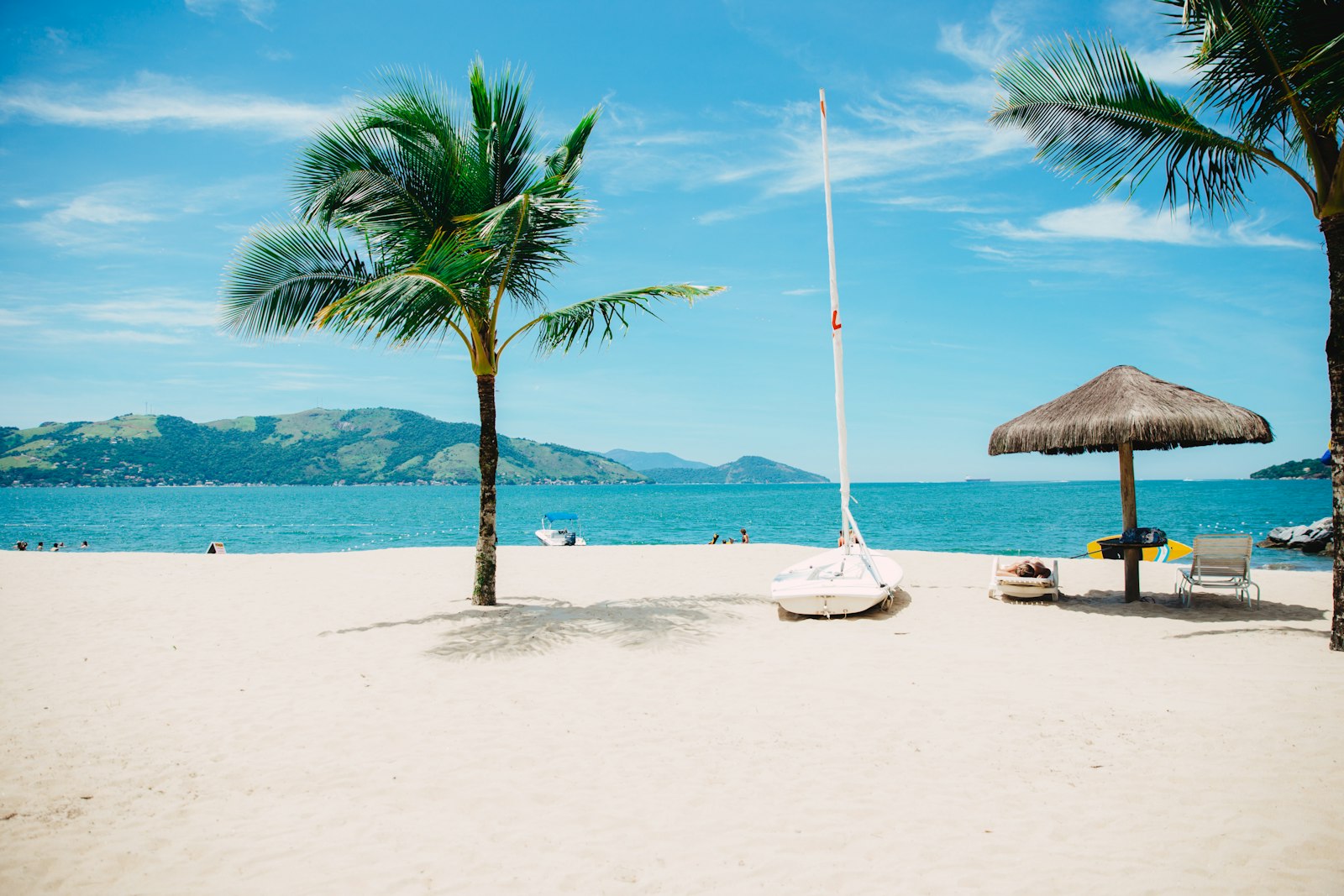
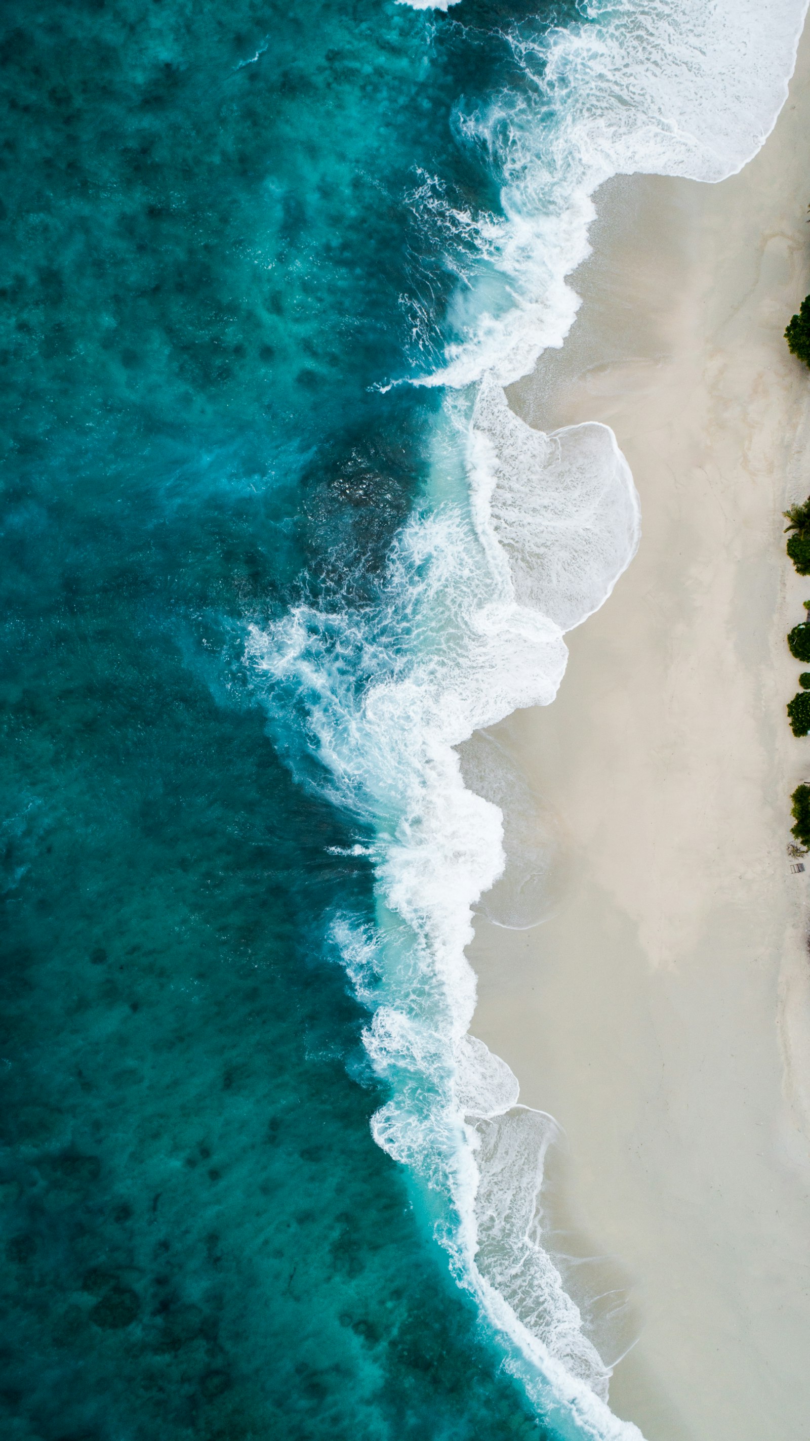
Representative Scenery
What Sea Paddling Looks Like
We don't have paddler photos of this route yet — these images show typical sea scenery in Ireland. Paddled here? Share your shots.

Conditions
What are the current paddling conditions at Dunmore East?
Weather
26°C
Clear Sky
Wind
17 km/h
E · Gentle Breeze
UV Index
5.6
Moderate
Location
52.15°N
6.99°W
Live conditions from Open-Meteo · updated just now · Always check Met Éireann before paddling.
Stay Safe
How do I stay safe paddling Dunmore East?
1
Plan Around the Tides
Irish coastal tides run on a roughly 6-hour cycle with tidal streams that can exceed your paddling speed. Check local tide tables, time your launch with the flood or ebb in your favour, and never fight a strong tidal race.
2
Carry a VHF Radio
A DSC-equipped VHF is the most reliable way to reach the Coast Guard if you get into trouble offshore. A phone is a backup, not a primary. File a Safetrx plan on the Irish Coast Guard app before every trip.
3
Respect Offshore Wind
Offshore winds can push paddlers out to sea faster than they can return. Avoid offshore conditions above Force 3 (12 km/h), and turn back early if wind is building against tide — the chop can escalate rapidly.
Discussion
Paddler Comments
Community
Share Your Experience
Paddled Dunmore East? Share your trip report with the community.
Write Trip Report
No comments yet on this route.
Be the first to share your experience — conditions, access, hazards, or anything a future paddler should know.
Log in to comment or create an account.