About This Route
What is kayaking Clew Bay like?
Legend says Clew Bay has 365 islands, one for every day of the year. These drumlin islands, deposited by glaciers, create a sheltered archipelago ideal for sea kayaking. Paddle out from Westport Quay with Croagh Patrick towering above, weaving between green islands where seals loll and oystercatchers pipe from the shoreline.
How do I paddle Clew Bay? Put-in, take-out and logistics
Clew Bay is one of the finest sea kayaking locations in Ireland, and the drumlin islands — rounded hills of glacial till, partially drowned by the post-Ice Age sea level rise — create a sheltered archipelago unlike anything else on the Atlantic coast. Westport Quay, about 2 km west of the town centre, has a slipway, parking, and several pubs and restaurants. Launch at or around high water for the easiest access; at low tide, extensive mud flats are exposed around the quay and getting afloat involves a long carry. Croagh Patrick (764 m), Ireland's holy mountain, dominates the skyline to the south-west and provides a constant reference point for navigation.
When is the best time to paddle Clew Bay?
The inner bay contains dozens of islands, most of them small enough to circumnavigate in minutes. Collanmore Island, the nearest to the quay, is connected by a tidal causeway at low water and has a few summer houses. Dorinish, further west, was famously owned by John Lennon in the late 1960s and is now uninhabited. The channels between islands can produce strong tidal currents, particularly on spring tides — the ebb in the narrows between Collanmore and the mainland runs noticeably. Grey seals haul out on the outer islands, and oystercatchers, ringed plovers, and terns nest on the shingle spits in summer. The 12 km loop through the inner archipelago and back to Westport Quay is a comfortable half-day paddle, but the bay rewards longer exploration: outer islands like Clare Island and Inishturk are within range for experienced paddlers in settled weather, though those crossings require careful planning around tide, wind, and swell.
Route Details
Put-in Point
Westport Quay
Take-out Point
Westport Quay (loop)
Best Season
May - September
Water Type
Sea
Parking
Yes, Westport Quay
Facilities
Pubs, restaurants at the Quay
View on Map
Navigate
Where is Clew Bay on the map?
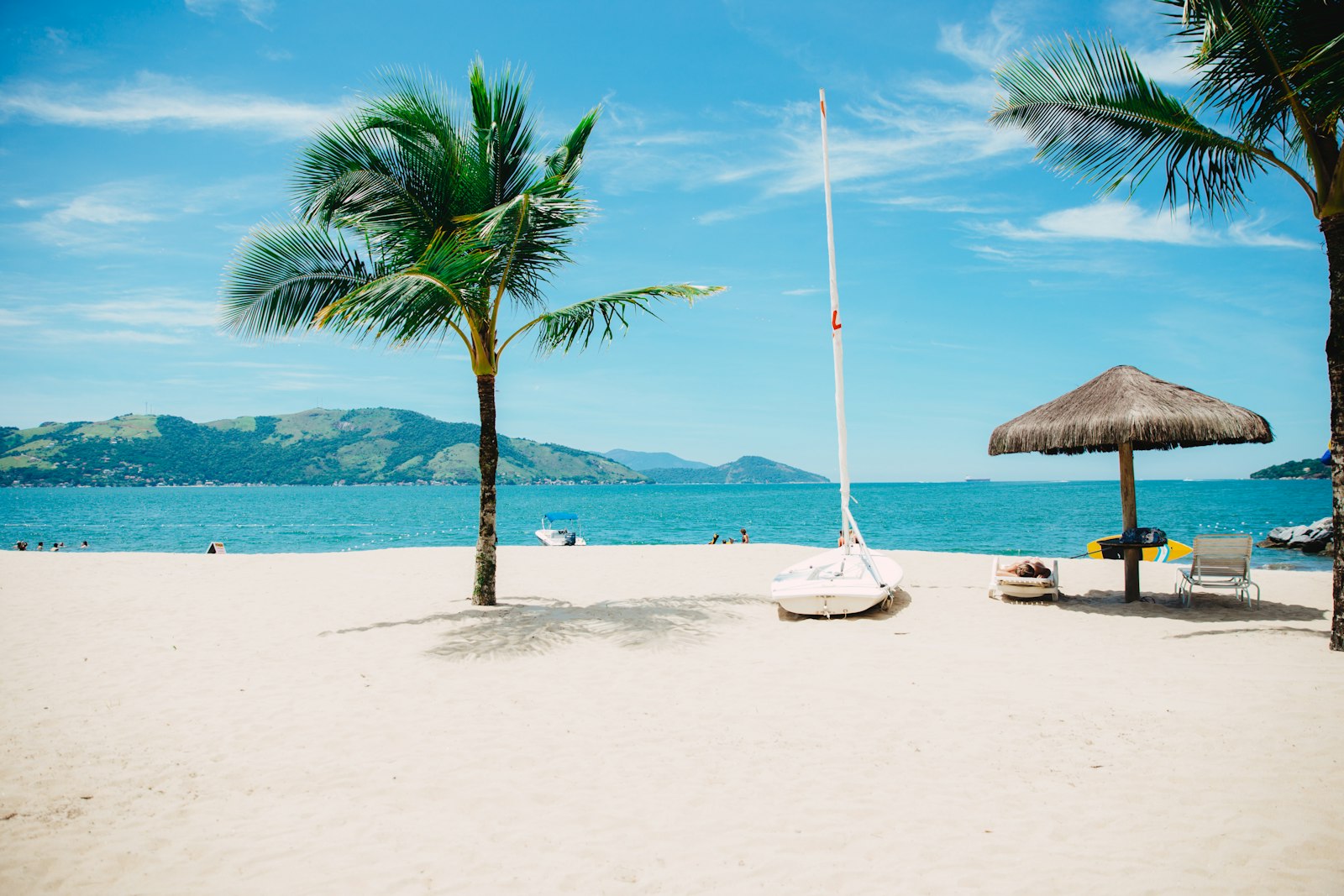
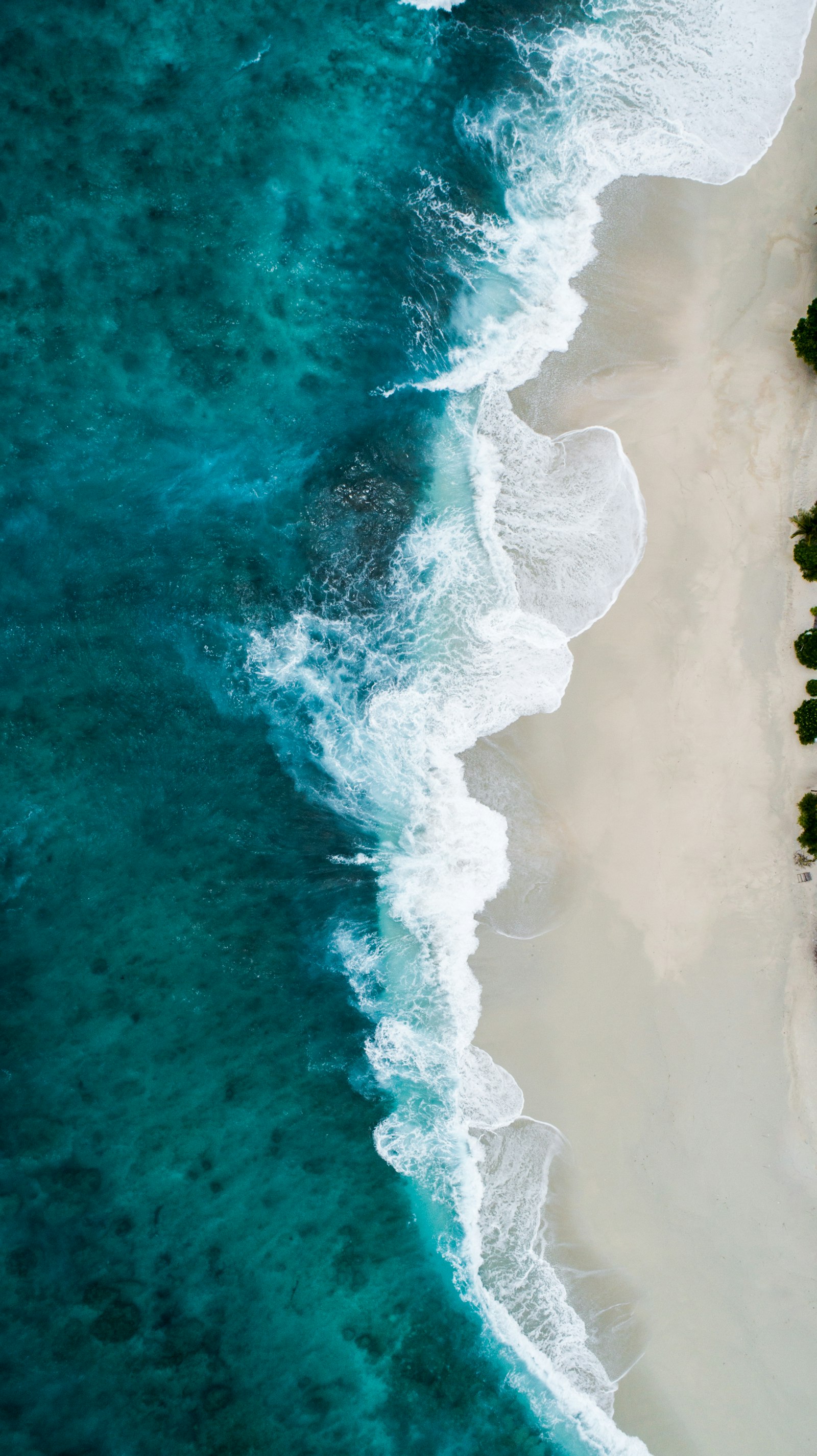
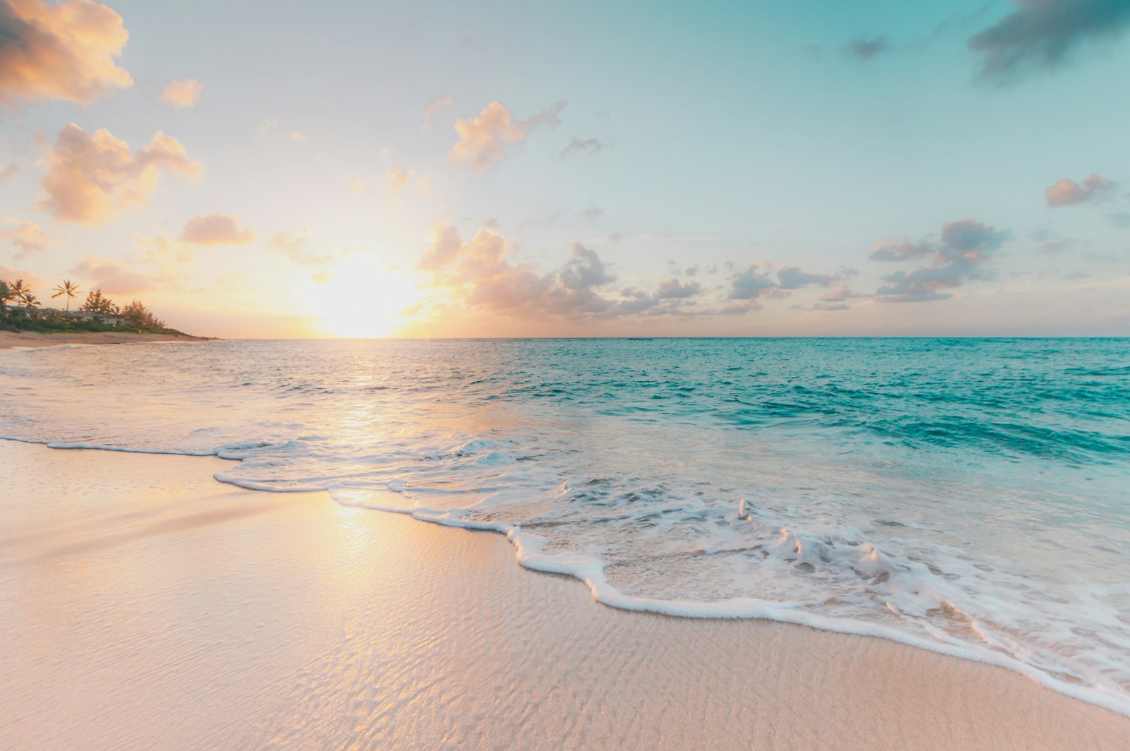
Representative Scenery
What Sea Paddling Looks Like
We don't have paddler photos of this route yet — these images show typical sea scenery in Ireland. Paddled here? Share your shots.
Conditions
What are the current paddling conditions at Clew Bay?
Weather
26°C
Clear Sky
Wind
22 km/h
E · Moderate Breeze
UV Index
5.6
Moderate
Location
53.80°N
9.75°W
Live conditions from Open-Meteo · updated just now · Always check Met Éireann before paddling.
Stay Safe
How do I stay safe paddling Clew Bay?
1
Plan Around the Tides
Irish coastal tides run on a roughly 6-hour cycle with tidal streams that can exceed your paddling speed. Check local tide tables, time your launch with the flood or ebb in your favour, and never fight a strong tidal race.
2
Carry a VHF Radio
A DSC-equipped VHF is the most reliable way to reach the Coast Guard if you get into trouble offshore. A phone is a backup, not a primary. File a Safetrx plan on the Irish Coast Guard app before every trip.
3
Respect Offshore Wind
Offshore winds can push paddlers out to sea faster than they can return. Avoid offshore conditions above Force 3 (12 km/h), and turn back early if wind is building against tide — the chop can escalate rapidly.
Discussion
Paddler Comments
Community
Share Your Experience
Paddled Clew Bay? Share your trip report with the community.
Write Trip Report
No comments yet on this route.
Be the first to share your experience — conditions, access, hazards, or anything a future paddler should know.
Log in to comment or create an account.